Specialized Zone · Philippines

Club Filipiniana Resort Under Development
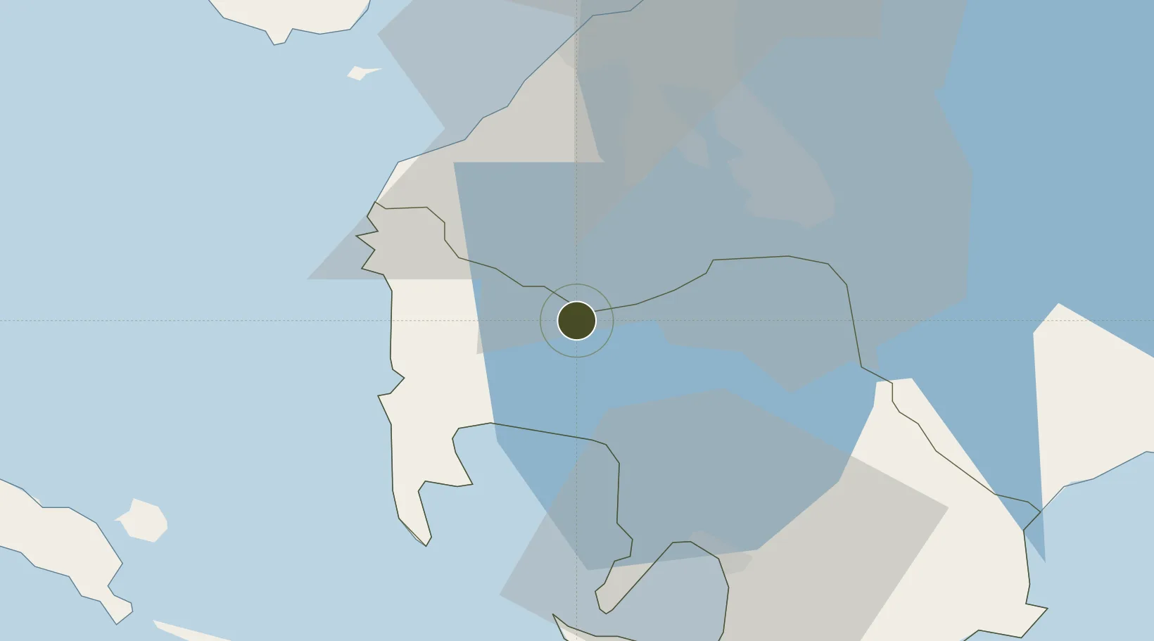
14.0657°, 120.8573°
19 ha
Zone area
26.0 km
Nearest port
48.0 km
Nearest airport

Gateway access

Nearest neighbours — logibook spatial index (haversine) over the source coordinates

Zone profile

Zone type
Specialized Zone
Open Zone Map
Specialization
Tourism
Open Zone Map
Region
Batangas
Open Zone Map
Status
Under Development
Open Zone Map
Management
Private
Open Zone Map
Operator
Filipiniana Tagaytay Properties, Inc.
Open Zone Map
Legal framework
Special Economic Zone Act (Republic Act No. 7916) (as amended by Republic Act No. 8748)
Open Zone Map

Location

Location of ozm-3928
Natural Earth 10m (public domain) · Batangas · ozm-3928 · 14.07, 120.86GoogleOSMYandex

Nearby Logistics Neighbours

Ports
  1. 1Nasugbu26 km
  2. 2Batangas City41 km
  3. 3Mariveles57 km
  4. 4Manila59 km
  5. 5Calapan80 km
Nearest neighbours — logibook spatial index (haversine) over the source coordinates
Airports
  1. 1Danilo Atienza Air Base48 km
  2. 2Ninoy Aquino International Airport52 km
  3. 3Lubang Airport85 km
  4. 4Mamburao Airport99 km
  5. 5Subic Bay International Airport / Naval Air Station Cubi Point103 km
Nearest neighbours — logibook spatial index (haversine) over the source coordinates
Cities
  1. 1Nasugbu, Luzon24 km
  2. 2Batangas/Luzon30 km
  3. 3Canlubang31 km
  4. 4Tanauan32 km
  5. 5Bauan/Batangas33 km
Nearest neighbours — logibook spatial index (haversine) over the source coordinates
Trade Zones
  1. 1Camp David of the East9 km
  2. 2Cavite Biofuels Ecozone13 km
  3. 3Calaca-Balayan Industrial Park13 km
  4. 4Anya Resort and Residences15 km
  5. 5Best World Technopark21 km
Nearest neighbours — logibook spatial index (haversine) over the source coordinates
DatabookThe Record of Consolidated Knowledge
Philippines beyond logistics?
Browse databook

All Sources

Trade ZonesOpen Zone Map
CC BY
Portsthe NGA World Port Index
Public domain (US gov)
AirportsOurAirports
Public domain
LocationsUN/LOCODE
UN/LOCODE — free
← Philippines trade zones