Diversified Zone · Philippines

Best World Technopark Under Development
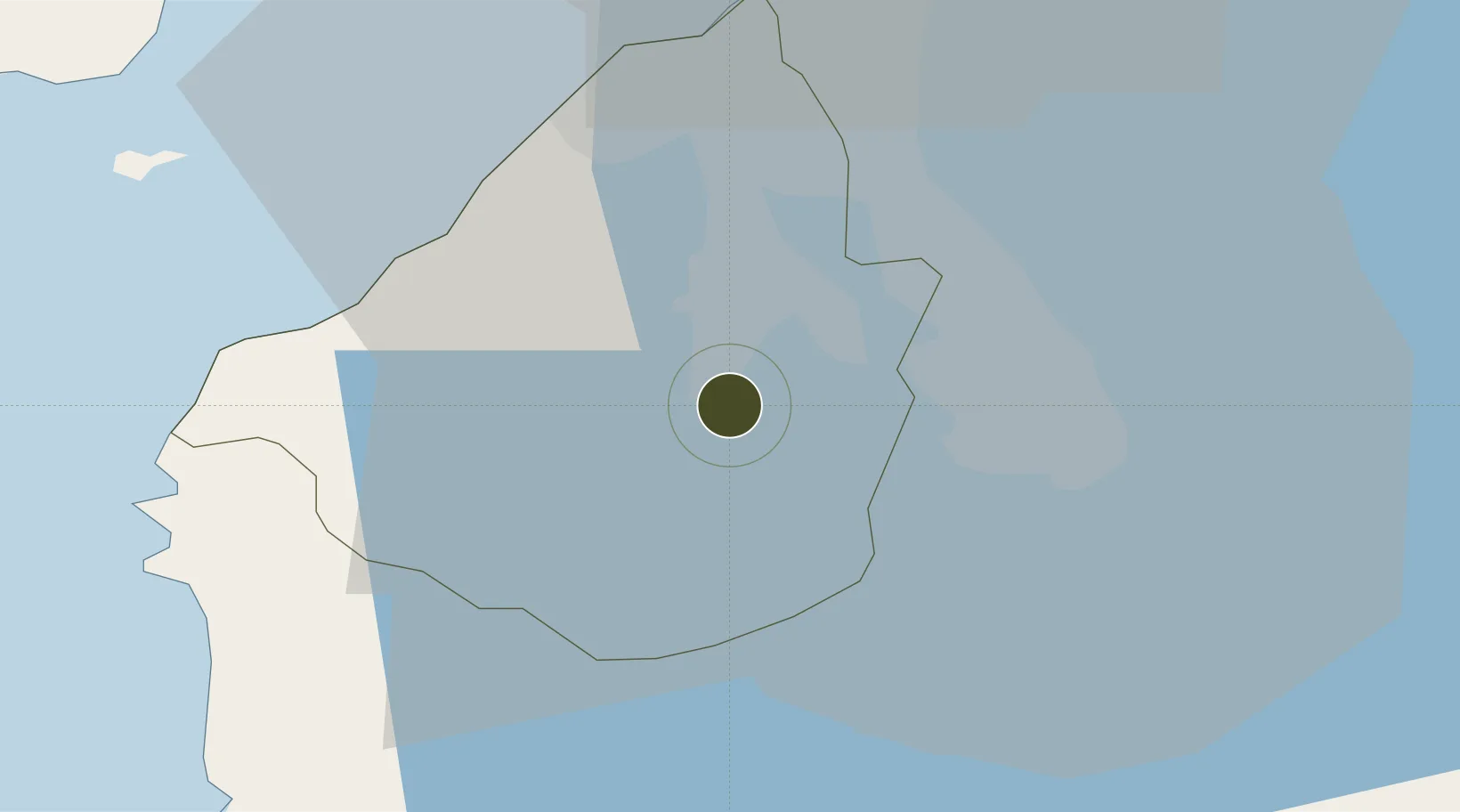
14.2358°, 120.9433°
145 ha
Zone area
38.7 km
Nearest port
29.2 km
Nearest airport

Gateway access

Nearest neighbours — logibook spatial index (haversine) over the source coordinates

Zone profile

Zone type
Diversified Zone
Open Zone Map
Region
Cavite
Open Zone Map
Status
Under Development
Open Zone Map
Management
Private
Open Zone Map
Operator
Best World Land International, Inc.
Open Zone Map
Legal framework
Special Economic Zone Act (Republic Act No. 7916) (as amended by Republic Act No. 8748)
Open Zone Map

Location

Location of ozm-3197
Natural Earth 10m (public domain) · Cavite · ozm-3197 · 14.24, 120.94GoogleOSMYandex

Nearby Logistics Neighbours

Ports
  1. 1Manila39 km
  2. 2Nasugbu39 km
  3. 3Mariveles54 km
  4. 4Batangas City55 km
  5. 5Calapan95 km
Nearest neighbours — logibook spatial index (haversine) over the source coordinates
Airports
  1. 1Danilo Atienza Air Base29 km
  2. 2Ninoy Aquino International Airport31 km
  3. 3Subic Bay International Airport / Naval Air Station Cubi Point95 km
  4. 4Lubang Airport100 km
  5. 5Clark International Airport / Clark Air Base113 km
Nearest neighbours — logibook spatial index (haversine) over the source coordinates
Cities
  1. 1Canlubang17 km
  2. 2Biñan19 km
  3. 3Cavite, Luzon20 km
  4. 4Camarines Norte/Jose Panganiban22 km
  5. 5Tanauan29 km
Nearest neighbours — logibook spatial index (haversine) over the source coordinates
Trade Zones
  1. 1Tricom Industrial Park3 km
  2. 2Corelan Technology Park4 km
  3. 3Gateway Business Park 4 km
  4. 4Equity Industrial Estate4 km
  5. 5Cambridge Intelligent Park5 km
Nearest neighbours — logibook spatial index (haversine) over the source coordinates
DatabookThe Record of Consolidated Knowledge
Philippines beyond logistics?
Browse databook

All Sources

Trade ZonesOpen Zone Map
CC BY
Portsthe NGA World Port Index
Public domain (US gov)
AirportsOurAirports
Public domain
LocationsUN/LOCODE
UN/LOCODE — free
← Philippines trade zones