Diversified Zone · Philippines

Calaca-Balayan Industrial Park Under Development
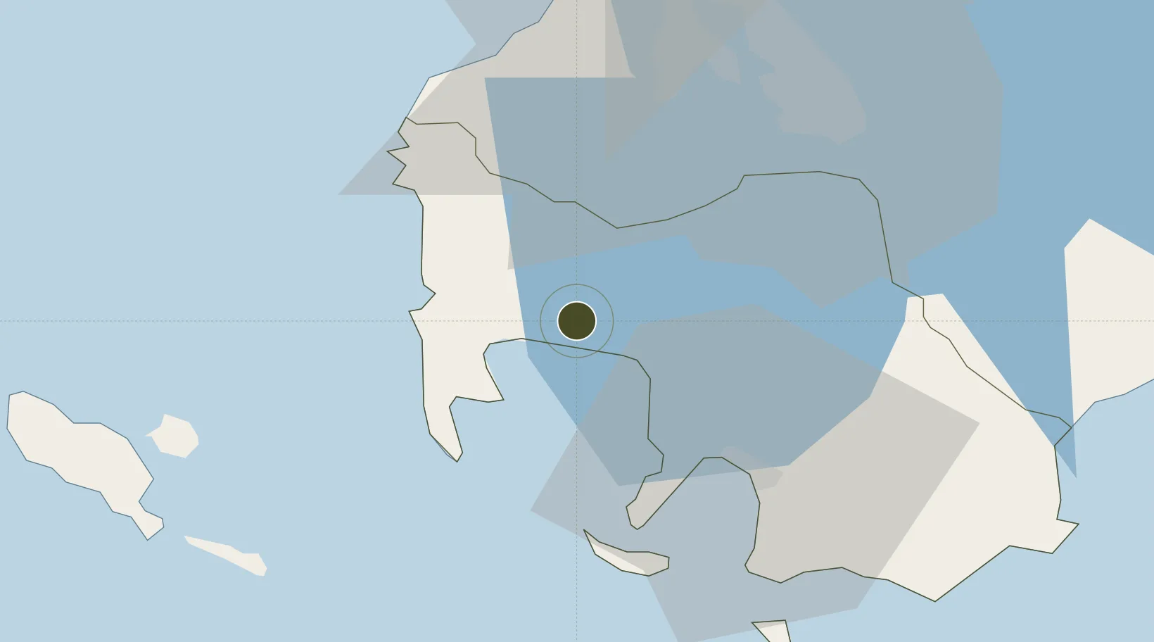
13.9565°, 120.8173°
53 ha
Zone area
25.8 km
Nearest port
60.6 km
Nearest airport

Gateway access

Nearest neighbours — logibook spatial index (haversine) over the source coordinates

Zone profile

Zone type
Diversified Zone
Open Zone Map
Region
Batangas
Open Zone Map
Status
Under Development
Open Zone Map
Management
Private
Open Zone Map
Operator
SEM-CAL Industrial Park Developers, Inc.
Open Zone Map
Legal framework
Special Economic Zone Act (Republic Act No. 7916) (as amended by Republic Act No. 8748)
Open Zone Map

Location

Location of ozm-3147
Natural Earth 10m (public domain) · Batangas · ozm-3147 · 13.96, 120.82GoogleOSMYandex

Nearby Logistics Neighbours

Ports
  1. 1Nasugbu26 km
  2. 2Batangas City34 km
  3. 3Mariveles64 km
  4. 4Manila72 km
  5. 5Calapan72 km
Nearest neighbours — logibook spatial index (haversine) over the source coordinates
Airports
  1. 1Danilo Atienza Air Base61 km
  2. 2Ninoy Aquino International Airport65 km
  3. 3Lubang Airport78 km
  4. 4Mamburao Airport86 km
  5. 5Subic Bay International Airport / Naval Air Station Cubi Point110 km
Nearest neighbours — logibook spatial index (haversine) over the source coordinates
Cities
  1. 1Nasugbu, Luzon23 km
  2. 2Bauan/Batangas26 km
  3. 3Batangas/Luzon29 km
  4. 4Tanauan38 km
  5. 5Canlubang42 km
Nearest neighbours — logibook spatial index (haversine) over the source coordinates
Trade Zones
  1. 1Club Filipiniana Resort13 km
  2. 2Camp David of the East18 km
  3. 3Cavite Biofuels Ecozone21 km
  4. 4Anya Resort and Residences26 km
  5. 5AG&P Special Economic Zone26 km
Nearest neighbours — logibook spatial index (haversine) over the source coordinates
DatabookThe Record of Consolidated Knowledge
Philippines beyond logistics?
Browse databook

All Sources

Trade ZonesOpen Zone Map
CC BY
Portsthe NGA World Port Index
Public domain (US gov)
AirportsOurAirports
Public domain
LocationsUN/LOCODE
UN/LOCODE — free
← Philippines trade zones