Specialized Zone · Philippines

Suntech iPark Active
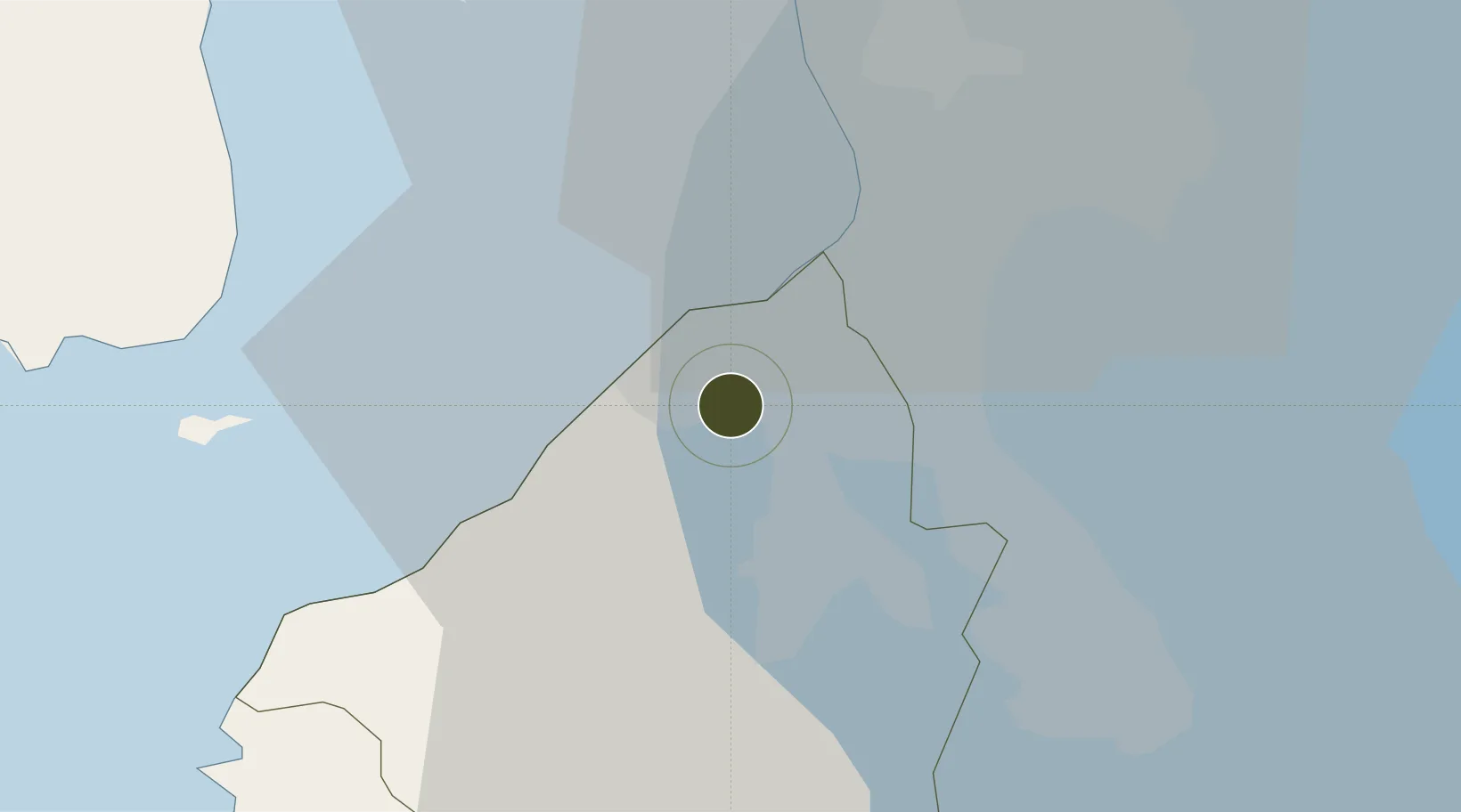
14.3998°, 120.9037°
11 ha
Zone area
21.5 km
Nearest port
10.6 km
Nearest airport

Gateway access

Nearest neighbours — logibook spatial index (haversine) over the source coordinates

Zone profile

Zone type
Specialized Zone
Open Zone Map
Specialization
IT
Open Zone Map
Region
Cavite
Open Zone Map
Status
Active
Open Zone Map
Management
Private
Open Zone Map
Operator
Property Company of Friends, Inc.
Open Zone Map
Legal framework
Special Economic Zone Act (Republic Act No. 7916) (as amended by Republic Act No. 8748)
Open Zone Map

Location

Location of ozm-3837
Natural Earth 10m (public domain) · Cavite · ozm-3837 · 14.40, 120.90GoogleOSMYandex

Nearby Logistics Neighbours

Ports
  1. 1Manila22 km
  2. 2Mariveles45 km
  3. 3Nasugbu47 km
  4. 4Batangas City74 km
  5. 5Subic Bay82 km
Nearest neighbours — logibook spatial index (haversine) over the source coordinates
Airports
  1. 1Danilo Atienza Air Base11 km
  2. 2Ninoy Aquino International Airport17 km
  3. 3Subic Bay International Airport / Naval Air Station Cubi Point81 km
  4. 4Clark International Airport / Clark Air Base95 km
  5. 5Lubang Airport105 km
Nearest neighbours — logibook spatial index (haversine) over the source coordinates
Cities
  1. 1Cavite, Luzon8 km
  2. 2Parañaque16 km
  3. 3Bangkal18 km
  4. 4Biñan21 km
  5. 5Manila North Harbour21 km
Nearest neighbours — logibook spatial index (haversine) over the source coordinates
Trade Zones
  1. 1Cavite Economic Zone II4 km
  2. 2Cavite Economic Zone4 km
  3. 3EMI Special Economic Zone4 km
  4. 4Cavite BPO Project5 km
  5. 5Lumina Point5 km
Nearest neighbours — logibook spatial index (haversine) over the source coordinates
DatabookThe Record of Consolidated Knowledge
Philippines beyond logistics?
Browse databook

All Sources

Trade ZonesOpen Zone Map
CC BY
Portsthe NGA World Port Index
Public domain (US gov)
AirportsOurAirports
Public domain
LocationsUN/LOCODE
UN/LOCODE — free
← Philippines trade zones