Transport Functions
Port
Road
Hub Profile
Place type
District seat
Region
Calabarzon
Population
300,000
Time zone
Asia/Manila
Elevation
10 m
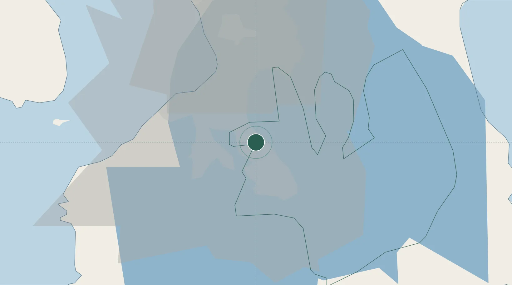
Location
Nearby Logistics Neighbours
Cities
- 1Canlubang13 km
- 2Camarines Norte/Jose Panganiban14 km
- 3Parañaque23 km
- 4Bangkal24 km
- 5Makati City26 km
Ports
- 1Manila31 km
- 2Nasugbu58 km
- 3Batangas City65 km
- 4Mariveles66 km
- 5Subic Bay102 km
Airports
Trade Zones
DatabookThe Record of Consolidated Knowledge
Philippines beyond logistics?