Specialized Zone · Philippines

Cavite BPO Project Under Development
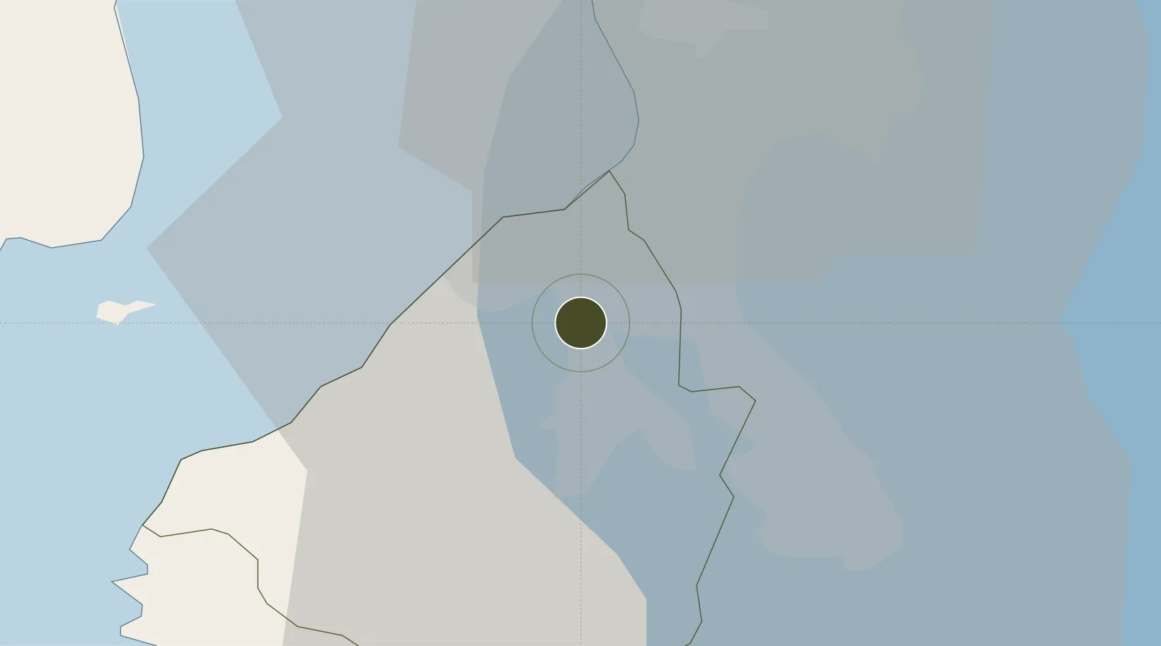
14.3766°, 120.9388°
3 ha
Zone area
23.2 km
Nearest port
13.7 km
Nearest airport

Gateway access

Nearest neighbours — logibook spatial index (haversine) over the source coordinates

Zone profile

Zone type
Specialized Zone
Open Zone Map
Specialization
IT
Open Zone Map
Region
Cavite
Open Zone Map
Status
Under Development
Open Zone Map
Management
Private
Open Zone Map
Operator
Cavite Commercial Town Center, Inc. (Under AyalaLand)
Open Zone Map
Legal framework
Special Economic Zone Act (Republic Act No. 7916) (as amended by Republic Act No. 8748)
Open Zone Map

Location

Location of ozm-3753
Natural Earth 10m (public domain) · Cavite · ozm-3753 · 14.38, 120.94GoogleOSMYandex

Nearby Logistics Neighbours

Ports
  1. 1Manila23 km
  2. 2Nasugbu48 km
  3. 3Mariveles50 km
  4. 4Batangas City71 km
  5. 5Subic Bay86 km
Nearest neighbours — logibook spatial index (haversine) over the source coordinates
Airports
  1. 1Danilo Atienza Air Base14 km
  2. 2Ninoy Aquino International Airport17 km
  3. 3Subic Bay International Airport / Naval Air Station Cubi Point86 km
  4. 4Clark International Airport / Clark Air Base99 km
  5. 5Lubang Airport107 km
Nearest neighbours — logibook spatial index (haversine) over the source coordinates
Cities
  1. 1Cavite, Luzon11 km
  2. 2Biñan16 km
  3. 3Parañaque16 km
  4. 4Bangkal19 km
  5. 5Makati City22 km
Nearest neighbours — logibook spatial index (haversine) over the source coordinates
Trade Zones
  1. 1EMI Special Economic Zone1 km
  2. 2VistaHub BPO Molino Tower 25 km
  3. 3Suntech iPark5 km
  4. 4Lumina Point5 km
  5. 5FRC SuperMall Imus5 km
Nearest neighbours — logibook spatial index (haversine) over the source coordinates
DatabookThe Record of Consolidated Knowledge
Philippines beyond logistics?
Browse databook

All Sources

Trade ZonesOpen Zone Map
CC BY
Portsthe NGA World Port Index
Public domain (US gov)
AirportsOurAirports
Public domain
LocationsUN/LOCODE
UN/LOCODE — free
← Philippines trade zones