Diversified Zone · Philippines

8G Special Economic Zone Under Development
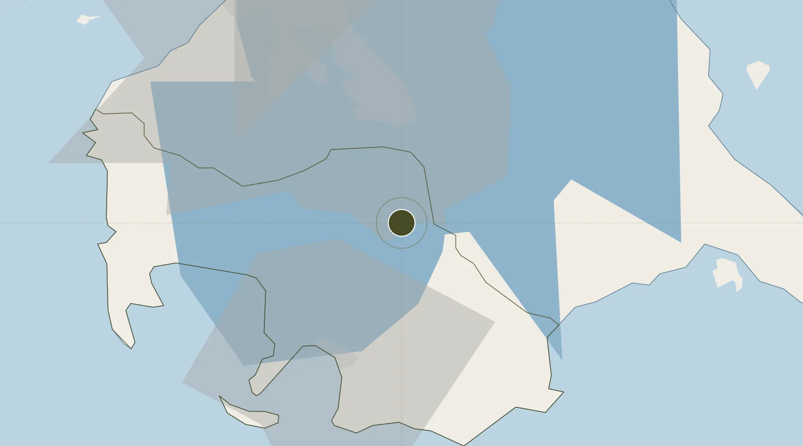
14.0082°, 121.1637°
8 ha
Zone area
31.2 km
Nearest port
57.8 km
Nearest airport

Gateway access

Nearest neighbours — logibook spatial index (haversine) over the source coordinates

Zone profile

Zone type
Diversified Zone
Open Zone Map
Region
Batangas
Open Zone Map
Status
Under Development
Open Zone Map
Management
Private
Open Zone Map
Operator
8 Gifts, Inc.
Open Zone Map
Legal framework
Special Economic Zone Act (Republic Act No. 7916) (as amended by Republic Act No. 8748)
Open Zone Map

Location

Location of ozm-3101
Natural Earth 10m (public domain) · Batangas · ozm-3101 · 14.01, 121.16GoogleOSMYandex

Nearby Logistics Neighbours

Ports
  1. 1Batangas City31 km
  2. 2Nasugbu60 km
  3. 3Calapan66 km
  4. 4Manila67 km
  5. 5Mariveles87 km
Nearest neighbours — logibook spatial index (haversine) over the source coordinates
Airports
  1. 1Ninoy Aquino International Airport58 km
  2. 2Danilo Atienza Air Base61 km
  3. 3Marinduque Airport102 km
  4. 4Mamburao Airport108 km
  5. 5Lubang Airport116 km
Nearest neighbours — logibook spatial index (haversine) over the source coordinates
Cities
  1. 1Tanauan7 km
  2. 2Batangas/Luzon16 km
  3. 3Camarines Norte/Jose Panganiban24 km
  4. 4Canlubang24 km
  5. 5Bauan/Batangas29 km
Nearest neighbours — logibook spatial index (haversine) over the source coordinates
Trade Zones
  1. 1Lima Technology Center 1 km
  2. 2Light Industry & Science Park IV4 km
  3. 3Fiesta World Mall IT Center5 km
  4. 4SM City Lipa6 km
  5. 5Robinsons Place Lipa7 km
Nearest neighbours — logibook spatial index (haversine) over the source coordinates
DatabookThe Record of Consolidated Knowledge
Philippines beyond logistics?
Browse databook

All Sources

Trade ZonesOpen Zone Map
CC BY
Portsthe NGA World Port Index
Public domain (US gov)
AirportsOurAirports
Public domain
LocationsUN/LOCODE
UN/LOCODE — free
← Philippines trade zones