Diversified Zone · Philippines

Light Industry & Science Park IV Under Development
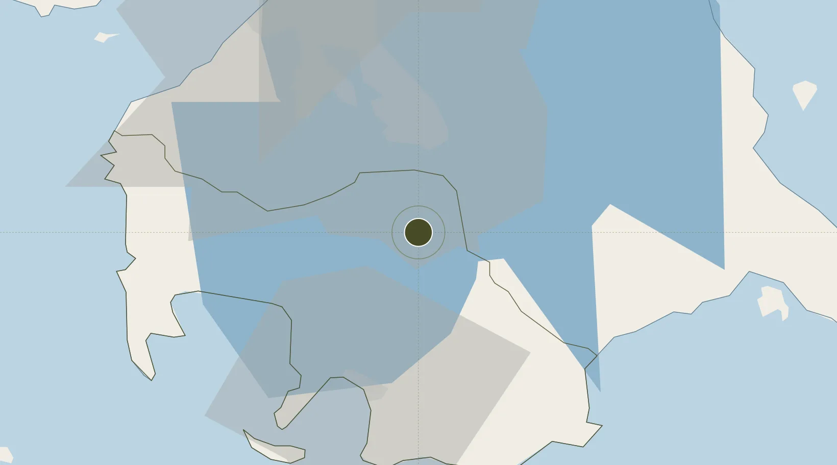
14.0382°, 121.1373°
64 ha
Zone area
33.4 km
Nearest port
53.8 km
Nearest airport

Gateway access

Nearest neighbours — logibook spatial index (haversine) over the source coordinates

Zone profile

Zone type
Diversified Zone
Open Zone Map
Region
Batangas
Open Zone Map
Status
Under Development
Open Zone Map
Management
Private
Open Zone Map
Operator
Science Park of the Philippines, Inc.
Open Zone Map
Legal framework
Special Economic Zone Act (Republic Act No. 7916) (as amended by Republic Act No. 8748)
Open Zone Map

Location

Location of ozm-3156
Natural Earth 10m (public domain) · Batangas · ozm-3156 · 14.04, 121.14GoogleOSMYandex

Nearby Logistics Neighbours

Ports
  1. 1Batangas City33 km
  2. 2Nasugbu56 km
  3. 3Manila63 km
  4. 4Calapan69 km
  5. 5Mariveles83 km
Nearest neighbours — logibook spatial index (haversine) over the source coordinates
Airports
  1. 1Ninoy Aquino International Airport54 km
  2. 2Danilo Atienza Air Base57 km
  3. 3Marinduque Airport106 km
  4. 4Mamburao Airport109 km
  5. 5Lubang Airport113 km
Nearest neighbours — logibook spatial index (haversine) over the source coordinates
Cities
  1. 1Tanauan3 km
  2. 2Batangas/Luzon17 km
  3. 3Canlubang20 km
  4. 4Camarines Norte/Jose Panganiban21 km
  5. 5Bauan/Batangas30 km
Nearest neighbours — logibook spatial index (haversine) over the source coordinates
Trade Zones
  1. 18G Special Economic Zone4 km
  2. 2Lima Technology Center 5 km
  3. 3Guoco Industrial Estate7 km
  4. 4Sto. Tomas Economic Zone7 km
  5. 5Batangas I.T. Park8 km
Nearest neighbours — logibook spatial index (haversine) over the source coordinates
DatabookThe Record of Consolidated Knowledge
Philippines beyond logistics?
Browse databook

All Sources

Trade ZonesOpen Zone Map
CC BY
Portsthe NGA World Port Index
Public domain (US gov)
AirportsOurAirports
Public domain
LocationsUN/LOCODE
UN/LOCODE — free
← Philippines trade zones