Free Trade Zone · Philippines

The New Lanang Project Under Development
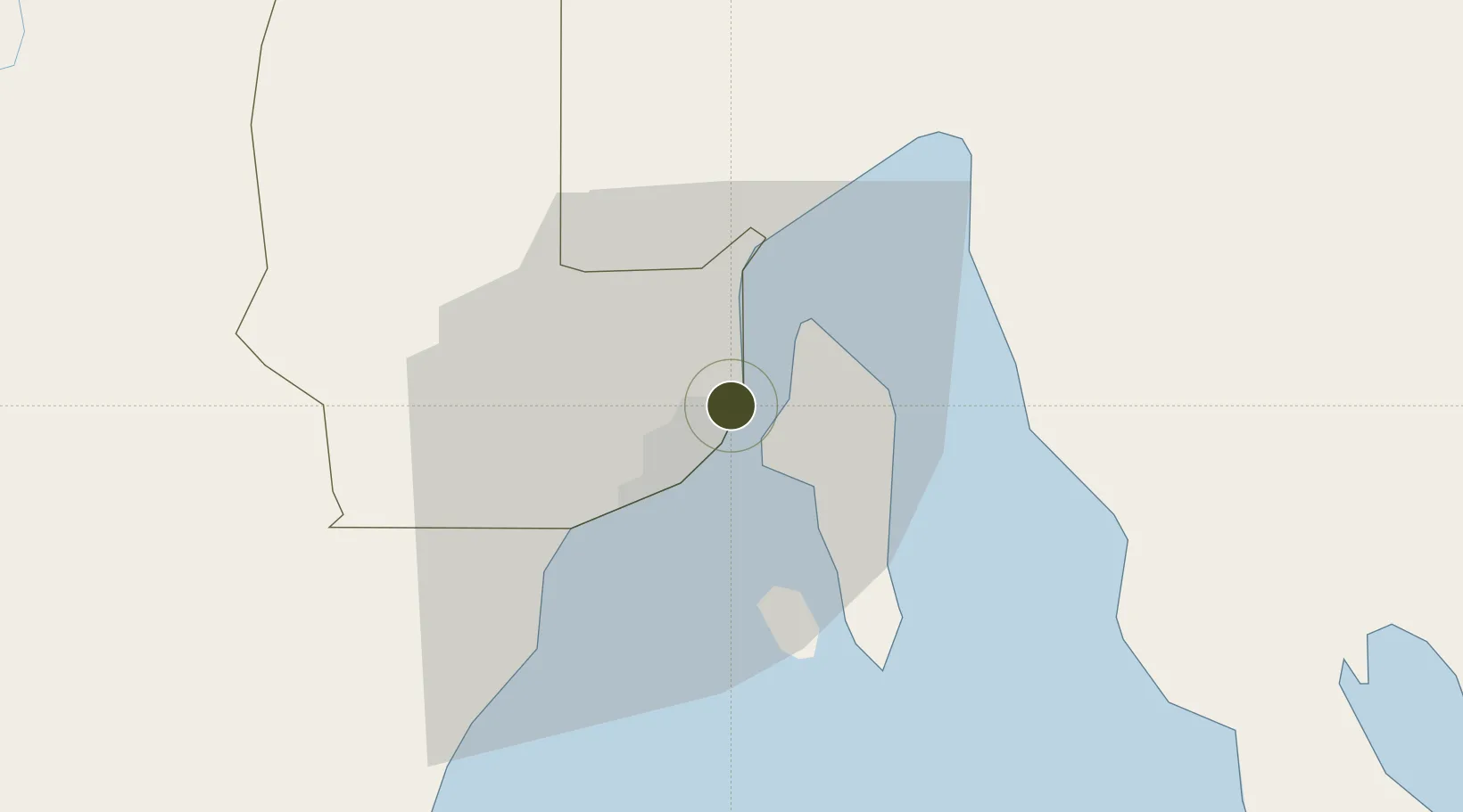
7.1212°, 125.6472°
1 ha
Zone area
6.9 km
Nearest port
0.5 km
Nearest airport

Gateway access

Nearest neighbours — logibook spatial index (haversine) over the source coordinates

Zone profile

Zone type
Free Trade Zone
Open Zone Map
Region
Davao
Open Zone Map
Status
Under Development
Open Zone Map
Management
Private
Open Zone Map
Operator
Lanang Realty Development Corporation
Open Zone Map
Legal framework
Special Economic Zone Act (Republic Act No. 7916) (as amended by Republic Act No. 8748)
Open Zone Map

Location

Location of ozm-3295
Natural Earth 10m (public domain) · Davao · ozm-3295 · 7.12, 125.65GoogleOSMYandex

Nearby Logistics Neighbours

Ports
  1. 1Davao7 km
  2. 2Mati66 km
  3. 3General Santos123 km
  4. 4Mangagoy144 km
  5. 5Hinatuan158 km
Nearest neighbours — logibook spatial index (haversine) over the source coordinates
Airports
  1. 1Francisco Bangoy International Airport1 km
  2. 2Mati National Airport72 km
  3. 3Central Mindanao Airport83 km
  4. 4Rajah Buayan Air Base122 km
  5. 5Allah Valley Airport130 km
Nearest neighbours — logibook spatial index (haversine) over the source coordinates
Cities
  1. 1Davao, Mindanao5 km
  2. 2DICT / SVT19 km
  3. 3Panabo20 km
  4. 4Astorga34 km
  5. 5Boston/Davao114 km
Nearest neighbours — logibook spatial index (haversine) over the source coordinates
Trade Zones
  1. 1Cocochem Agro-Industrial Park Inc. (CAIP)1 km
  2. 2Hijo Special Economic Zone2 km
  3. 3Lanang Business Park2 km
  4. 4Damosa I.T. Park3 km
  5. 5Davao Park District4 km
Nearest neighbours — logibook spatial index (haversine) over the source coordinates
DatabookThe Record of Consolidated Knowledge
Philippines beyond logistics?
Browse databook

All Sources

Trade ZonesOpen Zone Map
CC BY
Portsthe NGA World Port Index
Public domain (US gov)
AirportsOurAirports
Public domain
LocationsUN/LOCODE
UN/LOCODE — free
← Philippines trade zones