Specialized Zone · Philippines

SMLC IT Center Active
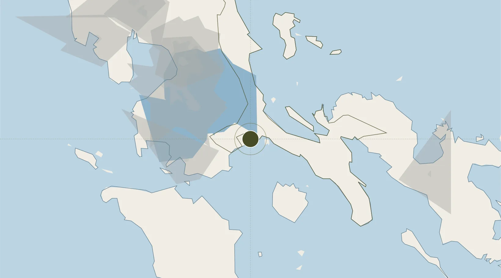
13.9403°, 121.6223°
4 ha
Zone area
65.3 km
Nearest port
68.1 km
Nearest airport

Gateway access

Nearest neighbours — logibook spatial index (haversine) over the source coordinates

Zone profile

Zone type
Specialized Zone
Open Zone Map
Specialization
IT
Open Zone Map
Region
Quezon
Open Zone Map
Status
Active
Open Zone Map
Management
Private
Open Zone Map
Operator
SM Prime Holdings, Inc.
Open Zone Map
Legal framework
Special Economic Zone Act (Republic Act No. 7916) (as amended by Republic Act No. 8748)
Open Zone Map

Location

Location of ozm-3778
Natural Earth 10m (public domain) · Quezon · ozm-3778 · 13.94, 121.62GoogleOSMYandex

Nearby Logistics Neighbours

Ports
  1. 1Batangas City65 km
  2. 2Hondagua66 km
  3. 3Calapan75 km
  4. 4Manila101 km
  5. 5Nasugbu110 km
Nearest neighbours — logibook spatial index (haversine) over the source coordinates
Airports
  1. 1Marinduque Airport68 km
  2. 2Ninoy Aquino International Airport91 km
  3. 3Danilo Atienza Air Base99 km
  4. 4Mamburao Airport137 km
  5. 5Daet Airport148 km
Nearest neighbours — logibook spatial index (haversine) over the source coordinates
Cities
  1. 1Pagbilao7 km
  2. 2Castañas10 km
  3. 3Candelaria22 km
  4. 4Atimonan/Siain30 km
  5. 5Binan37 km
Nearest neighbours — logibook spatial index (haversine) over the source coordinates
Trade Zones
  1. 1Candelaria Agri Special Economic Zone18 km
  2. 2Peter Paul Industrial Ecozone - Candelaria22 km
  3. 3San Pablo City IT Center37 km
  4. 4SM City San Pablo IT Center38 km
  5. 5Batangas Racing Circuit Tourism Estate40 km
Nearest neighbours — logibook spatial index (haversine) over the source coordinates
DatabookThe Record of Consolidated Knowledge
Philippines beyond logistics?
Browse databook

All Sources

Trade ZonesOpen Zone Map
CC BY
Portsthe NGA World Port Index
Public domain (US gov)
AirportsOurAirports
Public domain
LocationsUN/LOCODE
UN/LOCODE — free
← Philippines trade zones