Transport Functions
Multimodal
Hub Profile
Place type
Populated place
Region
Calabarzon
Time zone
Asia/Manila
Elevation
9 m
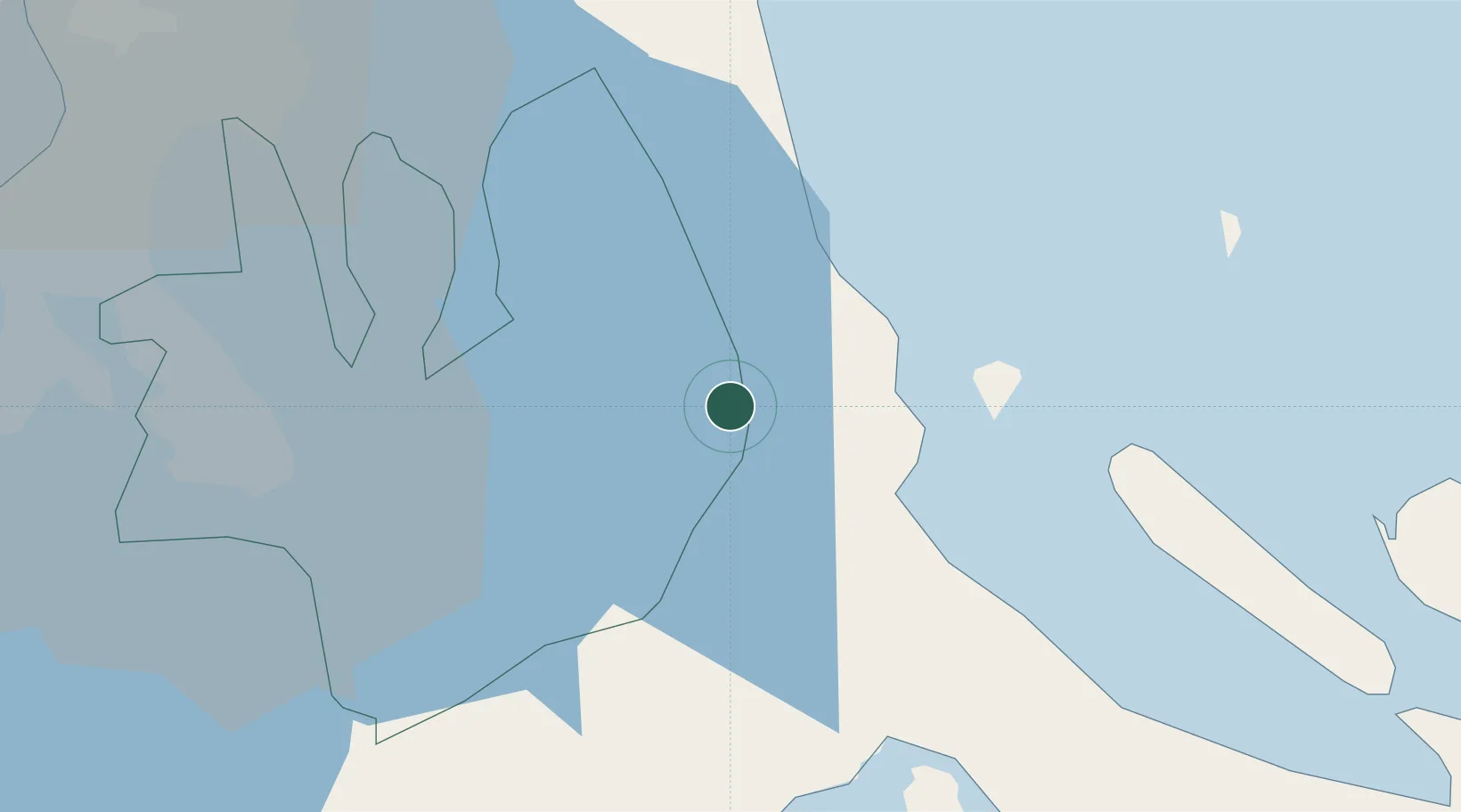
Location
Nearby Logistics Neighbours
Cities
- 1Taguig31 km
- 2Pagbilao35 km
- 3Castañas43 km
- 4Candelaria43 km
- 5Atimonan/Siain47 km
Ports
- 1Manila75 km
- 2Hondagua78 km
- 3Batangas City81 km
- 4Calapan104 km
- 5Nasugbu106 km
Airports
- 1Ninoy Aquino International Airport66 km
- 2Danilo Atienza Air Base78 km
- 3Marinduque Airport104 km
- 4Clark International Airport / Clark Air Base150 km
- 5Daet Airport151 km
Trade Zones
- 1SMLC IT Center37 km
- 2San Pablo City IT Center37 km
- 3SM City San Pablo IT Center38 km
- 4LB Centtro38 km
- 5UPLB Agro-Industial Park39 km
DatabookThe Record of Consolidated Knowledge
Philippines beyond logistics?