Specialized Zone · Philippines

SM City San Pablo IT Center Active
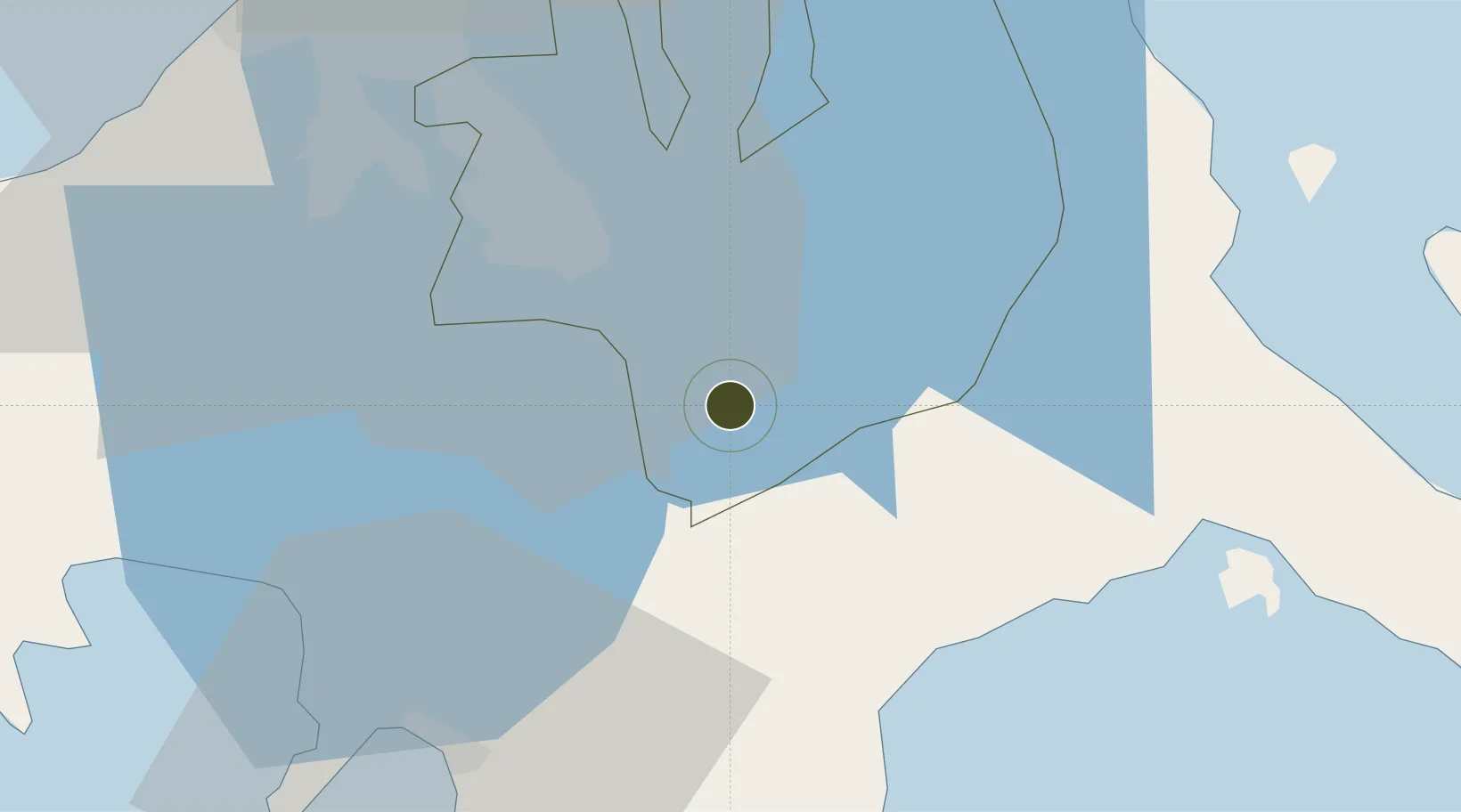
14.0714°, 121.2993°
1 ha
Zone area
44.7 km
Nearest port
57.2 km
Nearest airport

Gateway access

Nearest neighbours — logibook spatial index (haversine) over the source coordinates

Zone profile

Zone type
Specialized Zone
Open Zone Map
Specialization
IT
Open Zone Map
Region
Laguna
Open Zone Map
Status
Active
Open Zone Map
Management
Private
Open Zone Map
Operator
SM Prime Holdings, Inc.
Open Zone Map
Legal framework
Special Economic Zone Act (Republic Act No. 7916) (as amended by Republic Act No. 8748)
Open Zone Map

Location

Location of ozm-3703
Natural Earth 10m (public domain) · Laguna · ozm-3703 · 14.07, 121.30GoogleOSMYandex

Nearby Logistics Neighbours

Ports
  1. 1Batangas City45 km
  2. 2Manila67 km
  3. 3Nasugbu74 km
  4. 4Calapan74 km
  5. 5Mariveles97 km
Nearest neighbours — logibook spatial index (haversine) over the source coordinates
Airports
  1. 1Ninoy Aquino International Airport57 km
  2. 2Danilo Atienza Air Base64 km
  3. 3Marinduque Airport97 km
  4. 4Mamburao Airport122 km
  5. 5Lubang Airport131 km
Nearest neighbours — logibook spatial index (haversine) over the source coordinates
Cities
  1. 1Tanauan16 km
  2. 2Candelaria21 km
  3. 3Camarines Norte/Jose Panganiban23 km
  4. 4Canlubang27 km
  5. 5Batangas/Luzon31 km
Nearest neighbours — logibook spatial index (haversine) over the source coordinates
Trade Zones
  1. 1San Pablo City IT Center1 km
  2. 2LTI - Alaminos9 km
  3. 3BENA Agro-Industrial Park9 km
  4. 4UPLB Information Technology Park12 km
  5. 5Sto. Tomas Economic Zone12 km
Nearest neighbours — logibook spatial index (haversine) over the source coordinates
DatabookThe Record of Consolidated Knowledge
Philippines beyond logistics?
Browse databook

All Sources

Trade ZonesOpen Zone Map
CC BY
Portsthe NGA World Port Index
Public domain (US gov)
AirportsOurAirports
Public domain
LocationsUN/LOCODE
UN/LOCODE — free
← Philippines trade zones