UN/LOCODE hub · Philippines
PHATI

Atimonan/Siain

13.9833°, 121.9000°
1
Transport functions

Transport Functions

Port
UN/LOCODE

Hub Profile

Region
QUE
GeoNames

Location

Location of PHATI
Natural Earth 10m (public domain) · QUE · PHATI · 13.98, 121.90GoogleOSMYandex

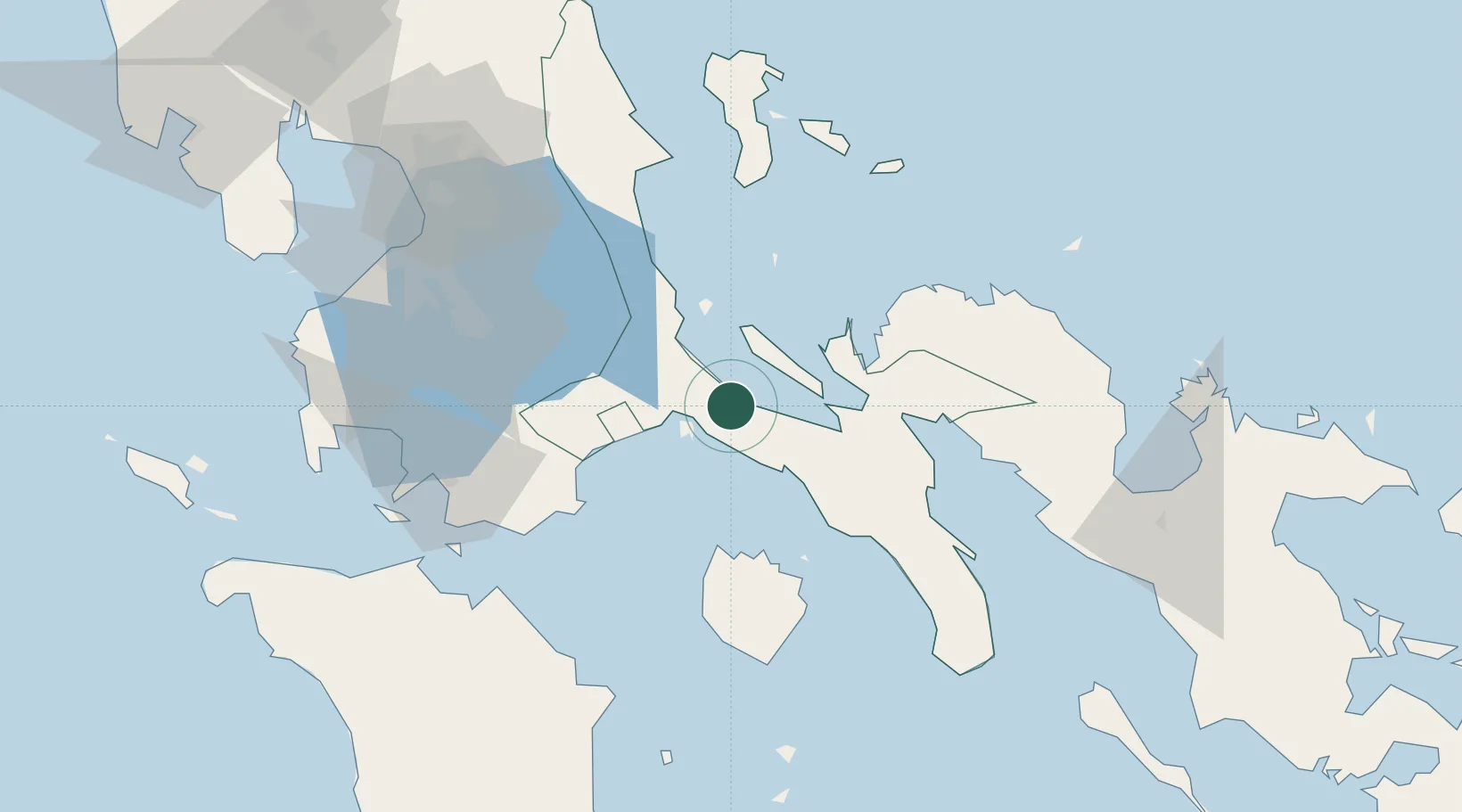
Nearby Logistics Neighbours

Cities
  1. 1Pagbilao24 km
  2. 2Castañas39 km
  3. 3Binan47 km
  4. 4Candelaria53 km
  5. 5Boac, Marinduque62 km
Nearest neighbours — logibook spatial index (haversine) over the source coordinates
Ports
  1. 1Hondagua36 km
  2. 2Jose Panganiban91 km
  3. 3Batangas City95 km
  4. 4Calapan100 km
  5. 5Manila121 km
Nearest neighbours — logibook spatial index (haversine) over the source coordinates
Airports
  1. 1Marinduque Airport70 km
  2. 2Ninoy Aquino International Airport111 km
  3. 3Daet Airport118 km
  4. 4Danilo Atienza Air Base122 km
  5. 5Naga Airport154 km
Nearest neighbours — logibook spatial index (haversine) over the source coordinates
Trade Zones
  1. 1SMLC IT Center30 km
  2. 2Candelaria Agri Special Economic Zone48 km
  3. 3Alphaland Balesin Island Resort51 km
  4. 4Peter Paul Industrial Ecozone - Candelaria52 km
  5. 5San Pablo City IT Center64 km
Nearest neighbours — logibook spatial index (haversine) over the source coordinates
DatabookThe Record of Consolidated Knowledge
Philippines beyond logistics?
Browse databook

All Sources

LocationsUN/LOCODE
UN/LOCODE — free
Portsthe NGA World Port Index
Public domain (US gov)
AirportsOurAirports
Public domain
Trade Zonesthe World Bank SEZ database
CC BY 4.0
Trade ZonesOpen Zone Map
CC BY
← Philippines locations