Specialized Zone · Philippines

Aeon Towers Under Development
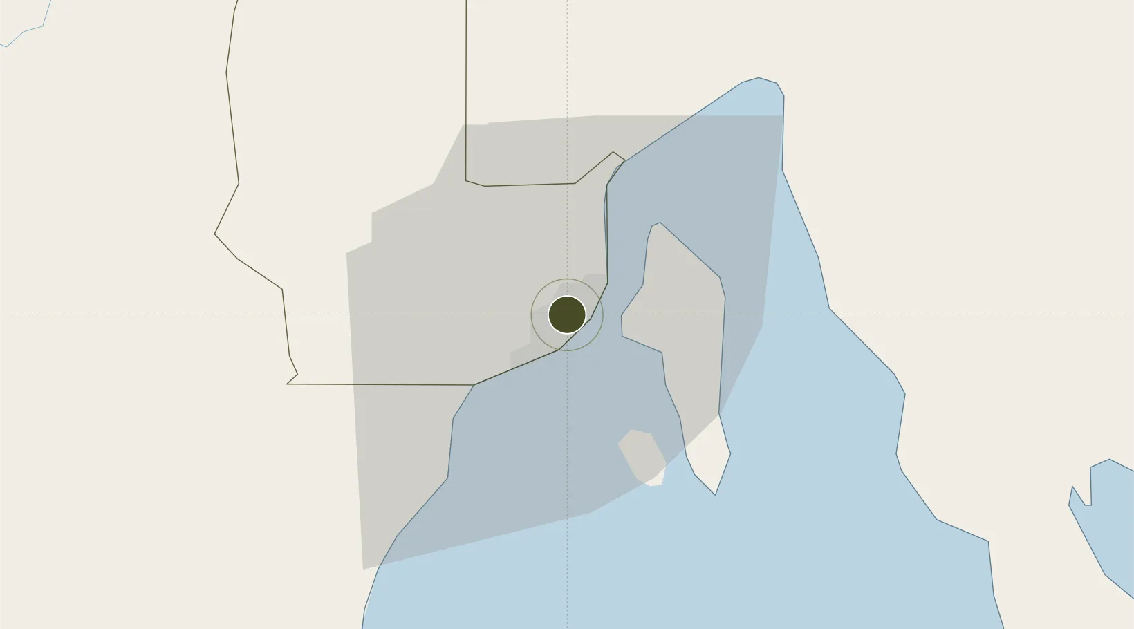
7.0937°, 125.6131°
0 ha
Zone area
3.0 km
Nearest port
5.1 km
Nearest airport

Gateway access

Nearest neighbours — logibook spatial index (haversine) over the source coordinates

Zone profile

Zone type
Specialized Zone
Open Zone Map
Specialization
IT
Open Zone Map
Region
Davao
Open Zone Map
Status
Under Development
Open Zone Map
Management
Private
Open Zone Map
Operator
FTC Group of Companies Corp.
Open Zone Map
Legal framework
Special Economic Zone Act (Republic Act No. 7916) (as amended by Republic Act No. 8748)
Open Zone Map

Location

Location of ozm-3584
Natural Earth 10m (public domain) · Davao · ozm-3584 · 7.09, 125.61GoogleOSMYandex

Nearby Logistics Neighbours

Ports
  1. 1Davao3 km
  2. 2Mati69 km
  3. 3General Santos119 km
  4. 4Mangagoy149 km
  5. 5Polloc (Cotabato)157 km
Nearest neighbours — logibook spatial index (haversine) over the source coordinates
Airports
  1. 1Francisco Bangoy International Airport5 km
  2. 2Mati National Airport75 km
  3. 3Central Mindanao Airport79 km
  4. 4Rajah Buayan Air Base118 km
  5. 5Allah Valley Airport125 km
Nearest neighbours — logibook spatial index (haversine) over the source coordinates
Cities
  1. 1Davao, Mindanao9 km
  2. 2DICT / SVT23 km
  3. 3Panabo24 km
  4. 4Astorga30 km
  5. 5Boston/Davao118 km
Nearest neighbours — logibook spatial index (haversine) over the source coordinates
Trade Zones
  1. 1Robinsons Cybergate Davao1 km
  2. 2ACI IT Business Centre1 km
  3. 3Abreeza Corporate Center 21 km
  4. 4Davao Park District2 km
  5. 5Luisa Avenue Square IT Center2 km
Nearest neighbours — logibook spatial index (haversine) over the source coordinates
DatabookThe Record of Consolidated Knowledge
Philippines beyond logistics?
Browse databook

All Sources

Trade ZonesOpen Zone Map
CC BY
Portsthe NGA World Port Index
Public domain (US gov)
AirportsOurAirports
Public domain
LocationsUN/LOCODE
UN/LOCODE — free
← Philippines trade zones