Specialized Zone · Philippines

CB Mall IT Center Active
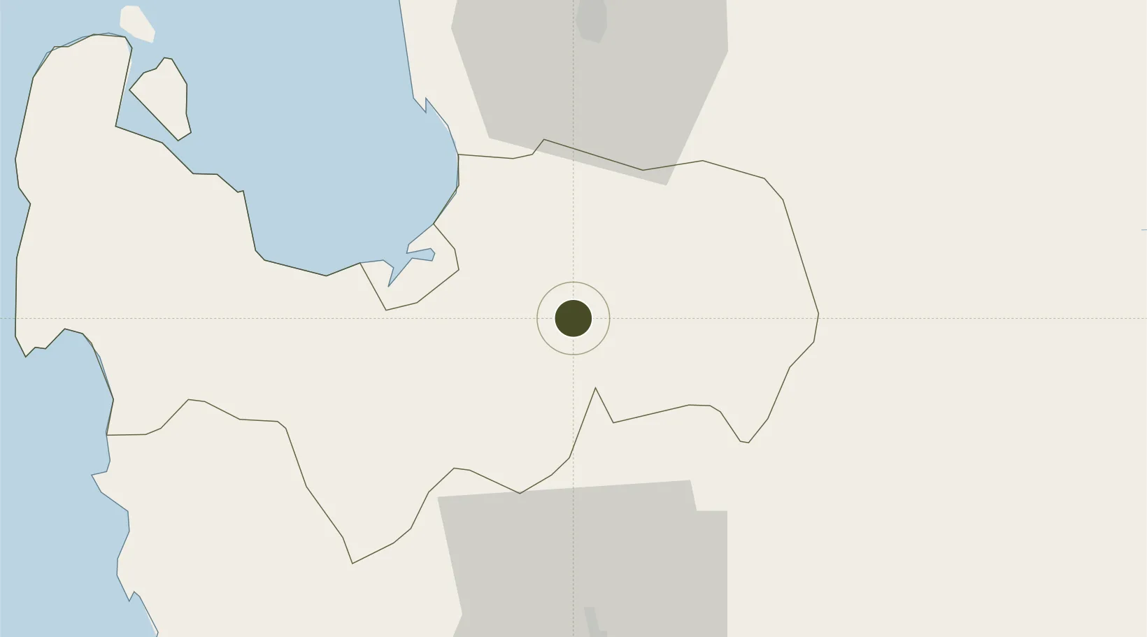
15.9712°, 120.5688°
1 ha
Zone area
76.7 km
Nearest port
45.2 km
Nearest airport

Gateway access

Nearest neighbours — logibook spatial index (haversine) over the source coordinates

Zone profile

Zone type
Specialized Zone
Open Zone Map
Specialization
IT
Open Zone Map
Region
Pangasinan
Open Zone Map
Status
Active
Open Zone Map
Management
Private
Open Zone Map
Operator
CBE Estrada Prime Holdings, Inc.
Open Zone Map
Legal framework
Special Economic Zone Act (Republic Act No. 7916) (as amended by Republic Act No. 8748)
Open Zone Map

Location

Location of ozm-3673
Natural Earth 10m (public domain) · Pangasinan · ozm-3673 · 15.97, 120.57GoogleOSMYandex

Nearby Logistics Neighbours

Ports
  1. 1San Fernando Harbor77 km
  2. 2Masinloc81 km
  3. 3Subic Bay134 km
  4. 4Manila160 km
  5. 5Mariveles171 km
Nearest neighbours — logibook spatial index (haversine) over the source coordinates
Airports
  1. 1Loakan Airport45 km
  2. 2San Fernando Airport75 km
  3. 3Clark International Airport / Clark Air Base87 km
  4. 4Dr. Juan C. Angara Airport103 km
  5. 5Subic Bay International Airport / Naval Air Station Cubi Point135 km
Nearest neighbours — logibook spatial index (haversine) over the source coordinates
Cities
  1. 1Agoo44 km
  2. 2Bauang66 km
  3. 3Cabanatuan69 km
  4. 4Makati75 km
  5. 5Pagudpud, Luzon77 km
Nearest neighbours — logibook spatial index (haversine) over the source coordinates
Trade Zones
  1. 1Sanctuary IT Center0 km
  2. 2Macayug Agro-Industrial Economic Zone20 km
  3. 3Eastern Pangasinan Agro-Industrial Park24 km
  4. 4ARB Corporate Center27 km
  5. 5Baguio City Economic Zone46 km
Nearest neighbours — logibook spatial index (haversine) over the source coordinates
DatabookThe Record of Consolidated Knowledge
Philippines beyond logistics?
Browse databook

All Sources

Trade ZonesOpen Zone Map
CC BY
Portsthe NGA World Port Index
Public domain (US gov)
AirportsOurAirports
Public domain
LocationsUN/LOCODE
UN/LOCODE — free
← Philippines trade zones