Specialized Zone · Philippines

CBC Asia Technozone Under Development
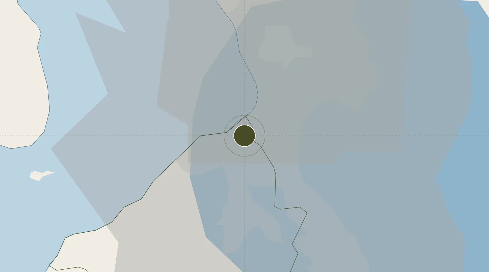
14.4590°, 120.9590°
1 ha
Zone area
13.9 km
Nearest port
7.2 km
Nearest airport

Gateway access

Nearest neighbours — logibook spatial index (haversine) over the source coordinates

Zone profile

Zone type
Specialized Zone
Open Zone Map
Specialization
IT
Open Zone Map
Region
Cavite
Open Zone Map
Status
Under Development
Open Zone Map
Management
Private
Open Zone Map
Operator
CBC_Asia Realty and Development Incorporated
Open Zone Map
Legal framework
Special Economic Zone Act (Republic Act No. 7916) (as amended by Republic Act No. 8748)
Open Zone Map

Location

Location of ozm-3631
Natural Earth 10m (public domain) · Cavite · ozm-3631 · 14.46, 120.96GoogleOSMYandex

Nearby Logistics Neighbours

Ports
  1. 1Manila14 km
  2. 2Mariveles51 km
  3. 3Nasugbu56 km
  4. 4Batangas City79 km
  5. 5Subic Bay84 km
Nearest neighbours — logibook spatial index (haversine) over the source coordinates
Airports
  1. 1Danilo Atienza Air Base7 km
  2. 2Ninoy Aquino International Airport9 km
  3. 3Subic Bay International Airport / Naval Air Station Cubi Point83 km
  4. 4Clark International Airport / Clark Air Base92 km
  5. 5Lubang Airport114 km
Nearest neighbours — logibook spatial index (haversine) over the source coordinates
Cities
  1. 1Parañaque7 km
  2. 2Bangkal9 km
  3. 3Makati City12 km
  4. 4Manila13 km
  5. 5Manila North Harbour14 km
Nearest neighbours — logibook spatial index (haversine) over the source coordinates
Trade Zones
  1. 1SM City Bacoor2 km
  2. 2Vista Mall Las Piñas IT Hub2 km
  3. 3Vista Mall North Molino3 km
  4. 4Island Cove Tourism Economic Zone4 km
  5. 5FRC SuperMall Imus4 km
Nearest neighbours — logibook spatial index (haversine) over the source coordinates
DatabookThe Record of Consolidated Knowledge
Philippines beyond logistics?
Browse databook

All Sources

Trade ZonesOpen Zone Map
CC BY
Portsthe NGA World Port Index
Public domain (US gov)
AirportsOurAirports
Public domain
LocationsUN/LOCODE
UN/LOCODE — free
← Philippines trade zones