Free Trade Zone · Philippines

SM City Bacoor Active
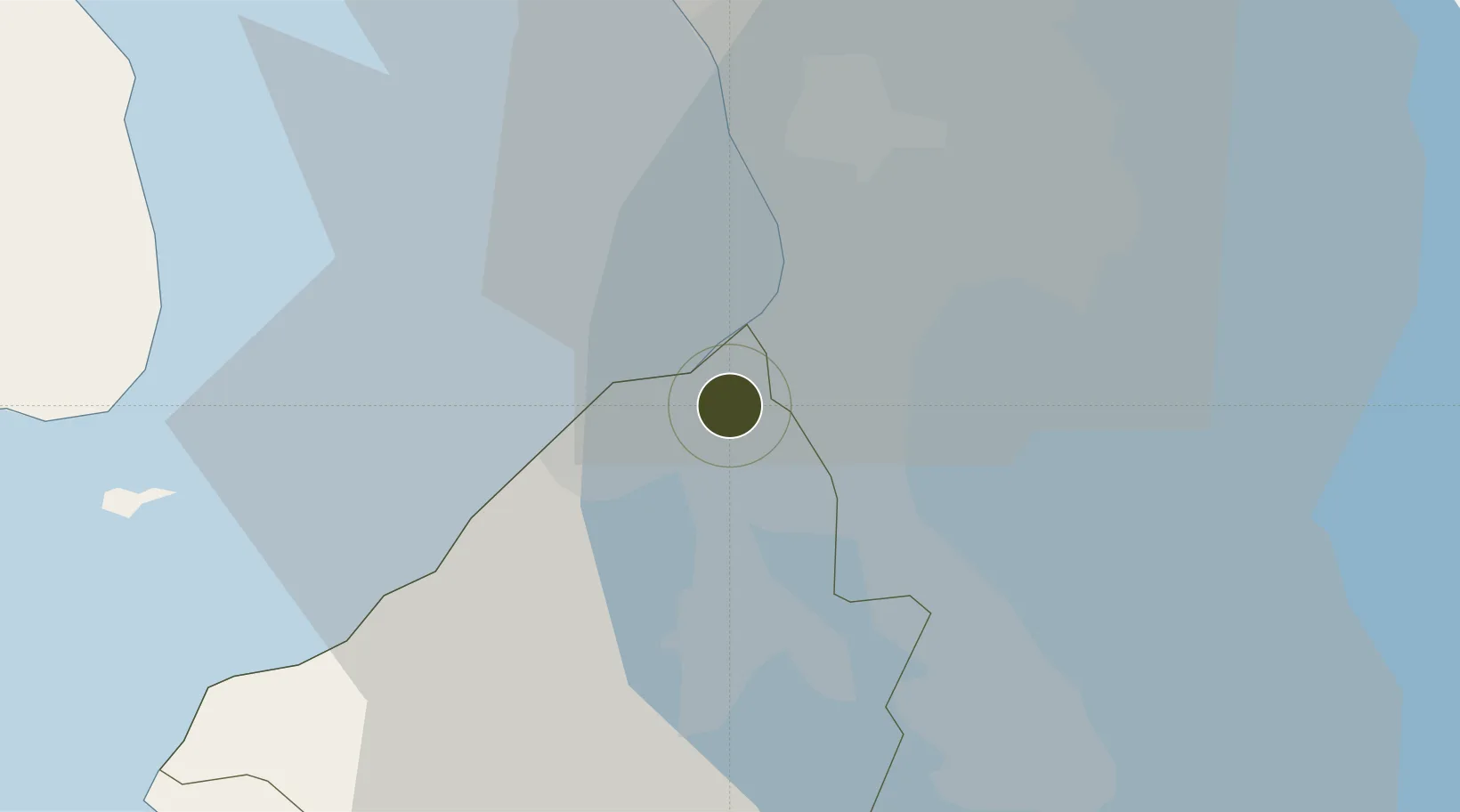
14.4446°, 120.9504°
4 ha
Zone area
15.5 km
Nearest port
7.5 km
Nearest airport

Gateway access

Nearest neighbours — logibook spatial index (haversine) over the source coordinates

Zone profile

Zone type
Free Trade Zone
Open Zone Map
Region
Cavite
Open Zone Map
Status
Active
Open Zone Map
Management
Private
Open Zone Map
Operator
SM Prime Holdings, Inc.
Open Zone Map
Legal framework
Special Economic Zone Act (Republic Act No. 7916) (as amended by Republic Act No. 8748)
Open Zone Map

Location

Location of ozm-3308
Natural Earth 10m (public domain) · Cavite · ozm-3308 · 14.44, 120.95GoogleOSMYandex

Nearby Logistics Neighbours

Ports
  1. 1Manila16 km
  2. 2Mariveles50 km
  3. 3Nasugbu54 km
  4. 4Batangas City78 km
  5. 5Subic Bay84 km
Nearest neighbours — logibook spatial index (haversine) over the source coordinates
Airports
  1. 1Danilo Atienza Air Base8 km
  2. 2Ninoy Aquino International Airport10 km
  3. 3Subic Bay International Airport / Naval Air Station Cubi Point83 km
  4. 4Clark International Airport / Clark Air Base93 km
  5. 5Lubang Airport112 km
Nearest neighbours — logibook spatial index (haversine) over the source coordinates
Cities
  1. 1Parañaque9 km
  2. 2Bangkal11 km
  3. 3Makati City14 km
  4. 4Cavite, Luzon14 km
  5. 5Manila15 km
Nearest neighbours — logibook spatial index (haversine) over the source coordinates
Trade Zones
  1. 1CBC Asia Technozone2 km
  2. 2Vista Mall North Molino2 km
  3. 3FRC SuperMall Imus2 km
  4. 4Lumina Point3 km
  5. 5Vista Mall Las Piñas IT Hub3 km
Nearest neighbours — logibook spatial index (haversine) over the source coordinates
DatabookThe Record of Consolidated Knowledge
Philippines beyond logistics?
Browse databook

All Sources

Trade ZonesOpen Zone Map
CC BY
Portsthe NGA World Port Index
Public domain (US gov)
AirportsOurAirports
Public domain
LocationsUN/LOCODE
UN/LOCODE — free
← Philippines trade zones