Free Trade Zone · Philippines

TechZone Building Active
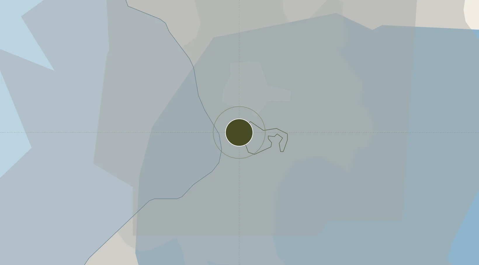
14.5590°, 121.0095°
0 ha
Zone area
5.3 km
Nearest port
5.7 km
Nearest airport

Gateway access

Nearest neighbours — logibook spatial index (haversine) over the source coordinates

Zone profile

Zone type
Free Trade Zone
Open Zone Map
Region
Makati
Open Zone Map
Status
Active
Open Zone Map
Management
Private
Open Zone Map
Operator
STI Education Services Group, Inc.
Open Zone Map
Legal framework
Special Economic Zone Act (Republic Act No. 7916) (as amended by Republic Act No. 8748)
Open Zone Map

Location

Location of ozm-3280
Natural Earth 10m (public domain) · Makati · ozm-3280 · 14.56, 121.01GoogleOSMYandex

Nearby Logistics Neighbours

Ports
  1. 1Manila5 km
  2. 2Mariveles58 km
  3. 3Nasugbu68 km
  4. 4Subic Bay84 km
  5. 5Batangas City90 km
Nearest neighbours — logibook spatial index (haversine) over the source coordinates
Airports
  1. 1Ninoy Aquino International Airport6 km
  2. 2Danilo Atienza Air Base13 km
  3. 3Subic Bay International Airport / Naval Air Station Cubi Point84 km
  4. 4Clark International Airport / Clark Air Base85 km
  5. 5Lubang Airport125 km
Nearest neighbours — logibook spatial index (haversine) over the source coordinates
Cities
  1. 1Makati City0 km
  2. 2Philippines3 km
  3. 3Bangkal3 km
  4. 4Manila5 km
  5. 5Parañaque6 km
Nearest neighbours — logibook spatial index (haversine) over the source coordinates
Trade Zones
  1. 1Maria Cornelia IT Center0 km
  2. 2Exportbank Plaza Building0 km
  3. 3Cash and Carry Mall0 km
  4. 4Burgundy Corporate Tower0 km
  5. 5Ayala North Exchange [Formerly Makati Gateway]0 km
Nearest neighbours — logibook spatial index (haversine) over the source coordinates
DatabookThe Record of Consolidated Knowledge
Philippines beyond logistics?
Browse databook

All Sources

Trade ZonesOpen Zone Map
CC BY
Portsthe NGA World Port Index
Public domain (US gov)
AirportsOurAirports
Public domain
LocationsUN/LOCODE
UN/LOCODE — free
← Philippines trade zones