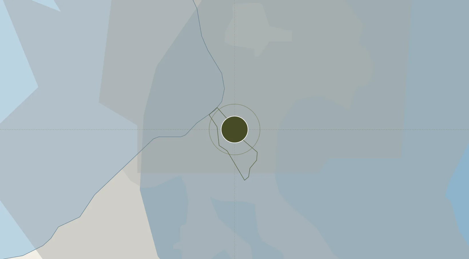
Free Trade Zone · Philippines

Cornerstone Business Center Active

14.4730°, 120.9991°
0 ha
Zone area
12.8 km
Nearest port
4.6 km
Nearest airport

Gateway access

Nearest neighbours — logibook spatial index (haversine) over the source coordinates

Zone profile

Zone type
Free Trade Zone
Open Zone Map
Region
Las Pinas
Open Zone Map
Status
Active
Open Zone Map
Management
Private
Open Zone Map
Operator
Alpha-One Realty Development Corporation
Open Zone Map
Legal framework
Special Economic Zone Act (Republic Act No. 7916) (as amended by Republic Act No. 8748)
Open Zone Map

Location

Location of ozm-3272
Natural Earth 10m (public domain) · Las Pinas · ozm-3272 · 14.47, 121.00GoogleOSMYandex

Nearby Logistics Neighbours

Ports
  1. 1Manila13 km
  2. 2Mariveles56 km
  3. 3Nasugbu60 km
  4. 4Batangas City81 km
  5. 5Subic Bay87 km
Nearest neighbours — logibook spatial index (haversine) over the source coordinates
Airports
  1. 1Ninoy Aquino International Airport5 km
  2. 2Danilo Atienza Air Base11 km
  3. 3Subic Bay International Airport / Naval Air Station Cubi Point86 km
  4. 4Clark International Airport / Clark Air Base92 km
  5. 5Lubang Airport118 km
Nearest neighbours — logibook spatial index (haversine) over the source coordinates
Cities
  1. 1Parañaque5 km
  2. 2Bangkal7 km
  3. 3Makati City9 km
  4. 4Manila12 km
  5. 5Philippines12 km
Nearest neighbours — logibook spatial index (haversine) over the source coordinates
Trade Zones
  1. 1Pacific IT Center3 km
  2. 2Rack I.T. Data Center3 km
  3. 3JB Building3 km
  4. 4Vista Mall Las Piñas IT Hub4 km
  5. 5SM BF - Parañaque IT Center4 km
Nearest neighbours — logibook spatial index (haversine) over the source coordinates
DatabookThe Record of Consolidated Knowledge
Philippines beyond logistics?
Browse databook

All Sources

Trade ZonesOpen Zone Map
CC BY
Portsthe NGA World Port Index
Public domain (US gov)
AirportsOurAirports
Public domain
LocationsUN/LOCODE
UN/LOCODE — free
← Philippines trade zones