Specialized Zone · Philippines

SM BF - Parañaque IT Center Active
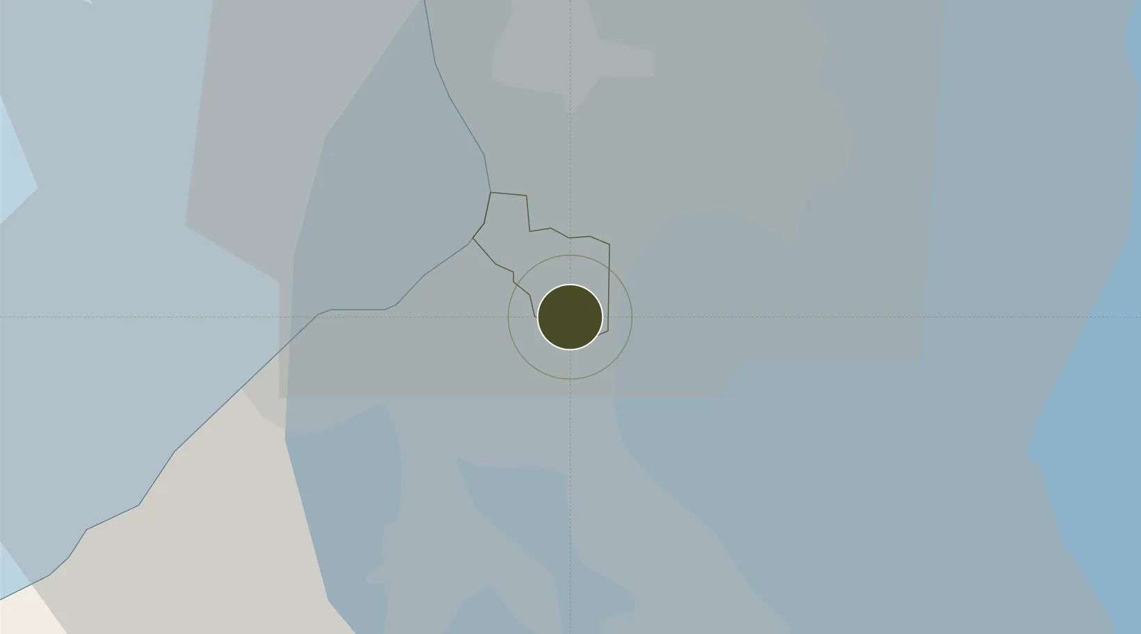
14.4574°, 121.0328°
3 ha
Zone area
15.7 km
Nearest port
5.9 km
Nearest airport

Gateway access

Nearest neighbours — logibook spatial index (haversine) over the source coordinates

Zone profile

Zone type
Specialized Zone
Open Zone Map
Specialization
IT
Open Zone Map
Region
Paranaque
Open Zone Map
Status
Active
Open Zone Map
Management
Private
Open Zone Map
Operator
SM Prime Holdings, Inc.
Open Zone Map
Legal framework
Special Economic Zone Act (Republic Act No. 7916) (as amended by Republic Act No. 8748)
Open Zone Map

Location

Location of ozm-3746
Natural Earth 10m (public domain) · Paranaque · ozm-3746 · 14.46, 121.03GoogleOSMYandex

Nearby Logistics Neighbours

Ports
  1. 1Manila16 km
  2. 2Mariveles59 km
  3. 3Nasugbu61 km
  4. 4Batangas City79 km
  5. 5Subic Bay91 km
Nearest neighbours — logibook spatial index (haversine) over the source coordinates
Airports
  1. 1Ninoy Aquino International Airport6 km
  2. 2Danilo Atienza Air Base15 km
  3. 3Subic Bay International Airport / Naval Air Station Cubi Point90 km
  4. 4Clark International Airport / Clark Air Base96 km
  5. 5Lubang Airport120 km
Nearest neighbours — logibook spatial index (haversine) over the source coordinates
Cities
  1. 1Parañaque9 km
  2. 2Bangkal9 km
  3. 3Makati City11 km
  4. 4Philippines14 km
  5. 5Manila15 km
Nearest neighbours — logibook spatial index (haversine) over the source coordinates
Trade Zones
  1. 1JB Building1 km
  2. 2Rack I.T. Data Center1 km
  3. 3Pacific IT Center2 km
  4. 4Amkor Technology Special Economic Zone3 km
  5. 5JGC Philippines Building3 km
Nearest neighbours — logibook spatial index (haversine) over the source coordinates
DatabookThe Record of Consolidated Knowledge
Philippines beyond logistics?
Browse databook

All Sources

Trade ZonesOpen Zone Map
CC BY
Portsthe NGA World Port Index
Public domain (US gov)
AirportsOurAirports
Public domain
LocationsUN/LOCODE
UN/LOCODE — free
← Philippines trade zones