Diversified Zone · Philippines

Rizal Industrial Estate Active
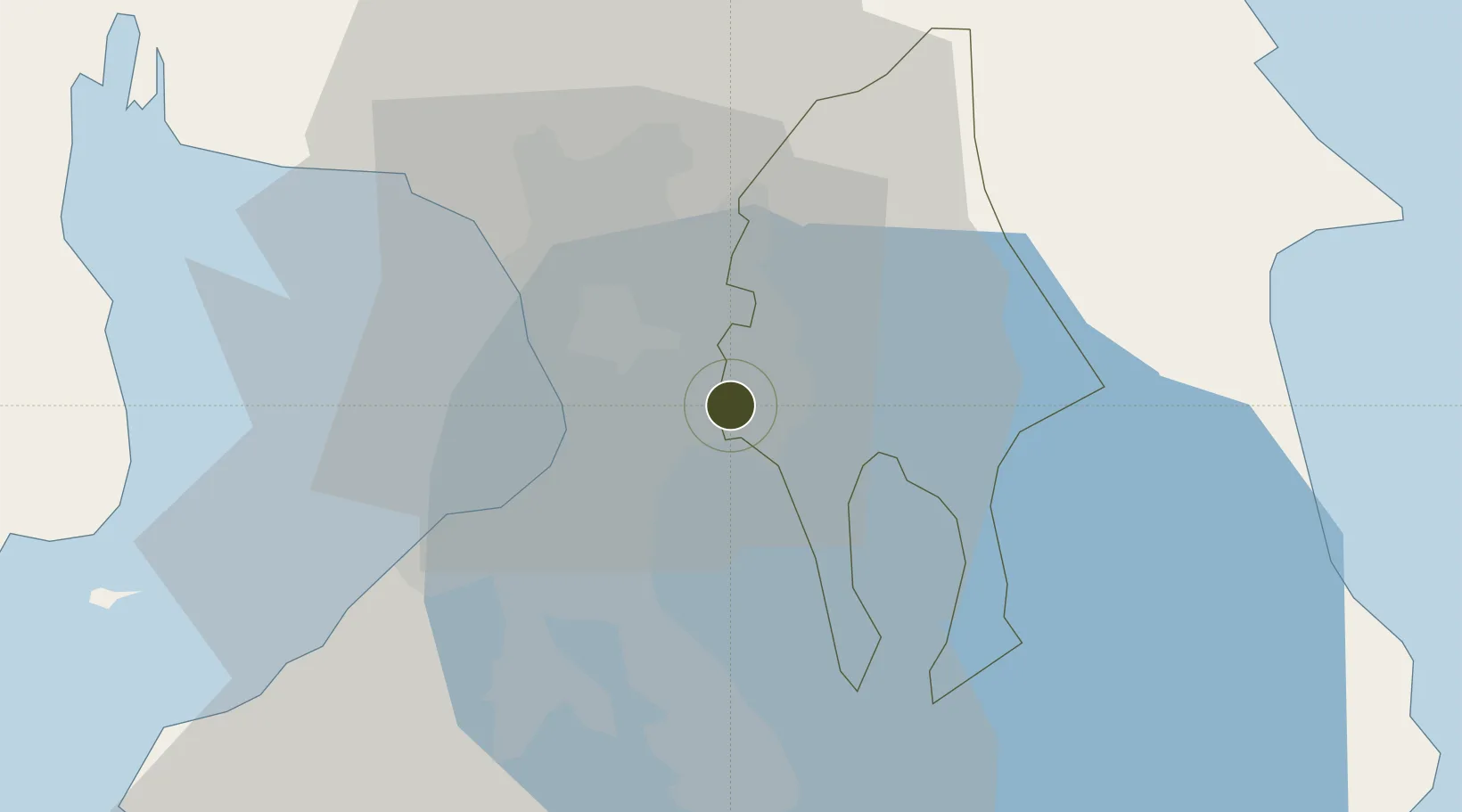
14.5554°, 121.1297°
326 ha
Zone area
17.8 km
Nearest port
12.9 km
Nearest airport

Gateway access

Nearest neighbours — logibook spatial index (haversine) over the source coordinates

Zone profile

Zone type
Diversified Zone
Open Zone Map
Region
Rizal
Open Zone Map
Status
Active
Open Zone Map
Management
Public
Open Zone Map
Operator
Provincial Government of Rizal
Open Zone Map
Legal framework
Special Economic Zone Act (Republic Act No. 7916) (as amended by Republic Act No. 8748)
Open Zone Map

Location

Location of ozm-3218
Natural Earth 10m (public domain) · Rizal · ozm-3218 · 14.56, 121.13GoogleOSMYandex

Nearby Logistics Neighbours

Ports
  1. 1Manila18 km
  2. 2Mariveles71 km
  3. 3Nasugbu76 km
  4. 4Batangas City90 km
  5. 5Subic Bay97 km
Nearest neighbours — logibook spatial index (haversine) over the source coordinates
Airports
  1. 1Ninoy Aquino International Airport13 km
  2. 2Danilo Atienza Air Base25 km
  3. 3Clark International Airport / Clark Air Base93 km
  4. 4Subic Bay International Airport / Naval Air Station Cubi Point96 km
  5. 5Lubang Airport135 km
Nearest neighbours — logibook spatial index (haversine) over the source coordinates
Cities
  1. 1Santa Rosa2 km
  2. 2Libis8 km
  3. 3Muntinlupa City11 km
  4. 4Makati City13 km
  5. 5San Juan14 km
Nearest neighbours — logibook spatial index (haversine) over the source coordinates
Trade Zones
  1. 1Manila East Cyber Park0 km
  2. 2SM City Taytay IT Park2 km
  3. 3Robinsons Big R Supercenter Cainta Junction4 km
  4. 4Asahi Special Economic Zone4 km
  5. 5PSMT IT Building5 km
Nearest neighbours — logibook spatial index (haversine) over the source coordinates
DatabookThe Record of Consolidated Knowledge
Philippines beyond logistics?
Browse databook

All Sources

Trade ZonesOpen Zone Map
CC BY
Portsthe NGA World Port Index
Public domain (US gov)
AirportsOurAirports
Public domain
LocationsUN/LOCODE
UN/LOCODE — free
← Philippines trade zones