Diversified Zone · Philippines

Asahi Special Economic Zone Active
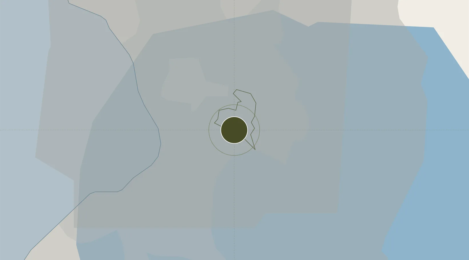
14.5544°, 121.0935°
28 ha
Zone area
14.0 km
Nearest port
9.4 km
Nearest airport

Gateway access

Nearest neighbours — logibook spatial index (haversine) over the source coordinates

Zone profile

Zone type
Diversified Zone
Open Zone Map
Region
Pasig
Open Zone Map
Status
Active
Open Zone Map
Management
Private
Open Zone Map
Operator
AGC Philippines Ecozone Management Corporation
Open Zone Map
Legal framework
Special Economic Zone Act (Republic Act No. 7916) (as amended by Republic Act No. 8748)
Open Zone Map

Location

Location of ozm-3119
Natural Earth 10m (public domain) · Pasig · ozm-3119 · 14.55, 121.09GoogleOSMYandex

Nearby Logistics Neighbours

Ports
  1. 1Manila14 km
  2. 2Mariveles67 km
  3. 3Nasugbu73 km
  4. 4Batangas City90 km
  5. 5Subic Bay93 km
Nearest neighbours — logibook spatial index (haversine) over the source coordinates
Airports
  1. 1Ninoy Aquino International Airport9 km
  2. 2Danilo Atienza Air Base21 km
  3. 3Clark International Airport / Clark Air Base91 km
  4. 4Subic Bay International Airport / Naval Air Station Cubi Point92 km
  5. 5Lubang Airport132 km
Nearest neighbours — logibook spatial index (haversine) over the source coordinates
Cities
  1. 1Santa Rosa3 km
  2. 2Libis6 km
  3. 3Muntinlupa City8 km
  4. 4Makati City9 km
  5. 5Bangkal10 km
Nearest neighbours — logibook spatial index (haversine) over the source coordinates
Trade Zones
  1. 1North-South Agro-Industrial Compound-Pasig3 km
  2. 2Vitro Internet Data Center Building3 km
  3. 3ArcoVia City3 km
  4. 4Reliance I.T. Center4 km
  5. 5Silver City4 km
Nearest neighbours — logibook spatial index (haversine) over the source coordinates
DatabookThe Record of Consolidated Knowledge
Philippines beyond logistics?
Browse databook

All Sources

Trade ZonesOpen Zone Map
CC BY
Portsthe NGA World Port Index
Public domain (US gov)
AirportsOurAirports
Public domain
LocationsUN/LOCODE
UN/LOCODE — free
← Philippines trade zones