Transport Functions
Multimodal
Hub Profile
Place type
Populated place
Region
Calabarzon
Time zone
Asia/Manila
Elevation
12 m
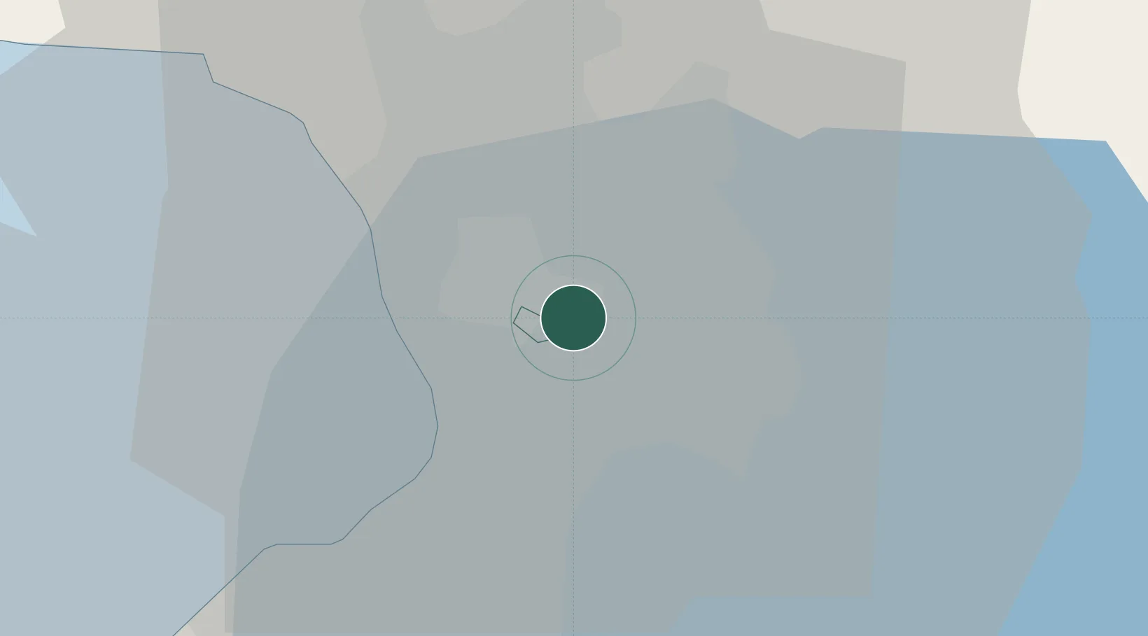
Location
Nearby Logistics Neighbours
Cities
- 1Muntinlupa City3 km
- 2San Juan5 km
- 3Quezon City5 km
- 4Santa Rosa7 km
- 5Philippines7 km
Ports
- 1Manila11 km
- 2Mariveles66 km
- 3Nasugbu75 km
- 4Subic Bay89 km
- 5Batangas City95 km
Airports
Trade Zones
DatabookThe Record of Consolidated Knowledge
Philippines beyond logistics?