UN/LOCODE hub · Philippines
PHMNT

Muntinlupa City

14.6167°, 121.0500°
3
Transport functions

Transport Functions

Port
Road
Multimodal
UN/LOCODE

Hub Profile

Region
00
GeoNames

Location

Location of PHMNT
Natural Earth 10m (public domain) · 00 · PHMNT · 14.62, 121.05GoogleOSMYandex

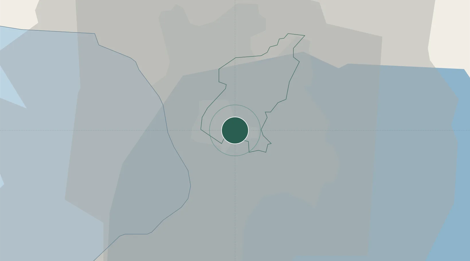
Nearby Logistics Neighbours

Cities
  1. 1San Juan3 km
  2. 2Quezon City3 km
  3. 3Libis3 km
  4. 4Philippines7 km
  5. 5Makati City8 km
Nearest neighbours — logibook spatial index (haversine) over the source coordinates
Ports
  1. 1Manila10 km
  2. 2Mariveles64 km
  3. 3Nasugbu76 km
  4. 4Subic Bay87 km
  5. 5Batangas City96 km
Nearest neighbours — logibook spatial index (haversine) over the source coordinates
Airports
  1. 1Ninoy Aquino International Airport12 km
  2. 2Danilo Atienza Air Base21 km
  3. 3Clark International Airport / Clark Air Base82 km
  4. 4Subic Bay International Airport / Naval Air Station Cubi Point86 km
  5. 5Lubang Airport132 km
Nearest neighbours — logibook spatial index (haversine) over the source coordinates
Trade Zones
  1. 1Araneta Cyber Center1 km
  2. 2Harvester Corporate Center1 km
  3. 3Araneta Cyber Park1 km
  4. 4Cyber Park Building One1 km
  5. 5Activa1 km
Nearest neighbours — logibook spatial index (haversine) over the source coordinates
DatabookThe Record of Consolidated Knowledge
Philippines beyond logistics?
Browse databook

All Sources

LocationsUN/LOCODE
UN/LOCODE — free
Portsthe NGA World Port Index
Public domain (US gov)
AirportsOurAirports
Public domain
Trade Zonesthe World Bank SEZ database
CC BY 4.0
Trade ZonesOpen Zone Map
CC BY
← Philippines locations