Transport Functions
Multimodal
Hub Profile
Place type
Populated place
Region
Calabarzon
Time zone
Asia/Manila
Elevation
17 m
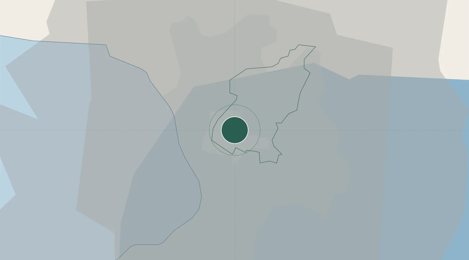
Location
Nearby Logistics Neighbours
Cities
- 1Quezon City0 km
- 2Muntinlupa City3 km
- 3Libis5 km
- 4Caloocan City6 km
- 5Philippines7 km
Ports
- 1Manila9 km
- 2Mariveles63 km
- 3Nasugbu76 km
- 4Subic Bay85 km
- 5Batangas City98 km
Airports
Trade Zones
DatabookThe Record of Consolidated Knowledge
Philippines beyond logistics?