Specialized Zone · Philippines

Robinsons Big R Supercenter Cainta Junction Active
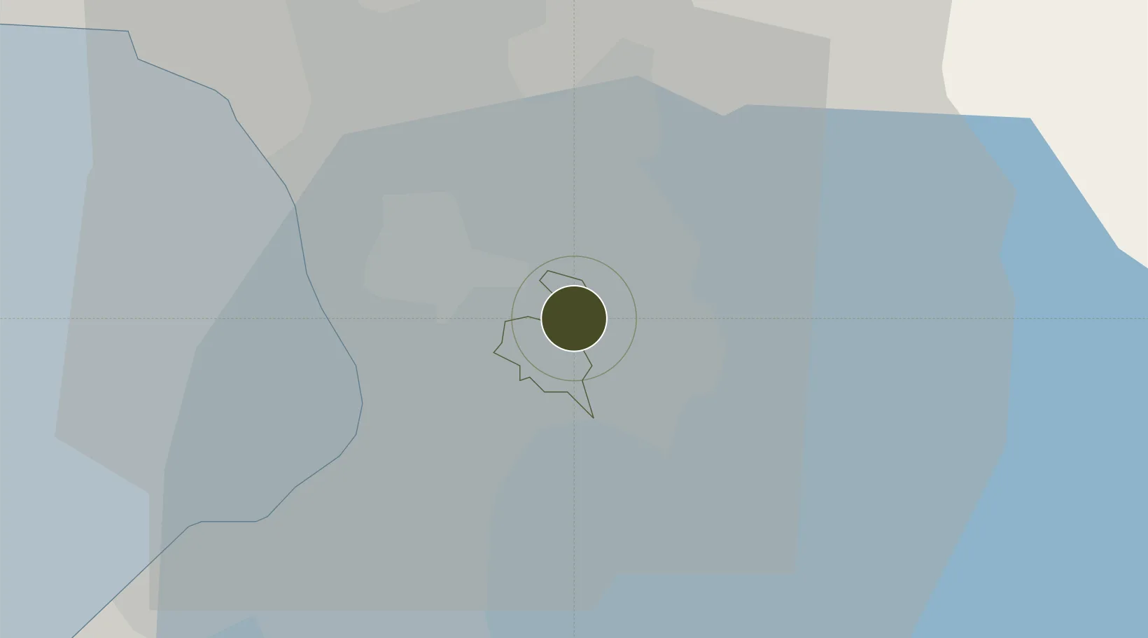
14.5858°, 121.1130°
2 ha
Zone area
15.8 km
Nearest port
13.2 km
Nearest airport

Gateway access

Nearest neighbours — logibook spatial index (haversine) over the source coordinates

Zone profile

Zone type
Specialized Zone
Open Zone Map
Specialization
IT
Open Zone Map
Region
Pasig
Open Zone Map
Status
Active
Open Zone Map
Management
Private
Open Zone Map
Operator
Robinson's Land Corporation
Open Zone Map
Legal framework
Special Economic Zone Act (Republic Act No. 7916) (as amended by Republic Act No. 8748)
Open Zone Map

Location

Location of ozm-3722
Natural Earth 10m (public domain) · Pasig · ozm-3722 · 14.59, 121.11GoogleOSMYandex

Nearby Logistics Neighbours

Ports
  1. 1Manila16 km
  2. 2Mariveles70 km
  3. 3Nasugbu77 km
  4. 4Batangas City93 km
  5. 5Subic Bay94 km
Nearest neighbours — logibook spatial index (haversine) over the source coordinates
Cities
  1. 1Santa Rosa2 km
  2. 2Libis5 km
  3. 3Muntinlupa City8 km
  4. 4San Juan10 km
  5. 5Quezon City10 km
Nearest neighbours — logibook spatial index (haversine) over the source coordinates
Trade Zones
  1. 1PSMT IT Building2 km
  2. 2North-South Agro-Industrial Compound-Pasig3 km
  3. 3EPI Economic Zone3 km
  4. 4Bridgetowne (formerly Robinsons Business Park)4 km
  5. 5Science and Technology Center4 km
Nearest neighbours — logibook spatial index (haversine) over the source coordinates
DatabookThe Record of Consolidated Knowledge
Philippines beyond logistics?
Browse databook

All Sources

Trade ZonesOpen Zone Map
CC BY
Portsthe NGA World Port Index
Public domain (US gov)
AirportsOurAirports
Public domain
LocationsUN/LOCODE
UN/LOCODE — free
← Philippines trade zones