Diversified Zone · Philippines

Filoil Special Economic Zone II Under Development
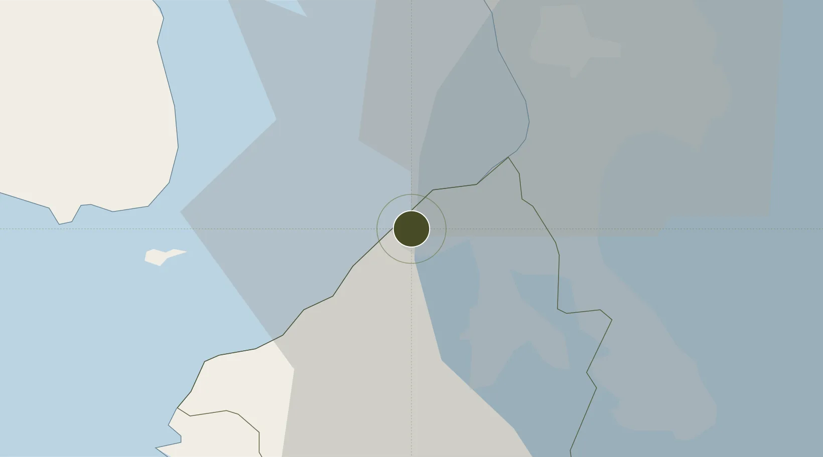
14.4161°, 120.8545°
122 ha
Zone area
22.2 km
Nearest port
10.3 km
Nearest airport

Gateway access

Nearest neighbours — logibook spatial index (haversine) over the source coordinates

Zone profile

Zone type
Diversified Zone
Open Zone Map
Region
Cavite
Open Zone Map
Status
Under Development
Open Zone Map
Management
Private
Open Zone Map
Operator
Filoil Development & Management Corp.
Open Zone Map
Legal framework
Special Economic Zone Act (Republic Act No. 7916) (as amended by Republic Act No. 8748)
Open Zone Map

Location

Location of ozm-3191
Natural Earth 10m (public domain) · Cavite · ozm-3191 · 14.42, 120.85GoogleOSMYandex

Nearby Logistics Neighbours

Ports
  1. 1Manila22 km
  2. 2Mariveles40 km
  3. 3Nasugbu45 km
  4. 4Subic Bay76 km
  5. 5Batangas City77 km
Nearest neighbours — logibook spatial index (haversine) over the source coordinates
Airports
  1. 1Danilo Atienza Air Base10 km
  2. 2Ninoy Aquino International Airport21 km
  3. 3Subic Bay International Airport / Naval Air Station Cubi Point76 km
  4. 4Clark International Airport / Clark Air Base91 km
  5. 5Lubang Airport102 km
Nearest neighbours — logibook spatial index (haversine) over the source coordinates
Cities
  1. 1Cavite, Luzon4 km
  2. 2Parañaque18 km
  3. 3Bangkal20 km
  4. 4Manila North Harbour21 km
  5. 5Manila22 km
Nearest neighbours — logibook spatial index (haversine) over the source coordinates
Trade Zones
  1. 1SM City Rosario I.T. Center1 km
  2. 2Cavite Economic Zone2 km
  3. 3Cavite Economic Zone II2 km
  4. 4Suntech iPark6 km
  5. 5Marcelo IPG Industrial & Aqua Farming Park7 km
Nearest neighbours — logibook spatial index (haversine) over the source coordinates
DatabookThe Record of Consolidated Knowledge
Philippines beyond logistics?
Browse databook

All Sources

Trade ZonesOpen Zone Map
CC BY
Portsthe NGA World Port Index
Public domain (US gov)
AirportsOurAirports
Public domain
LocationsUN/LOCODE
UN/LOCODE — free
← Philippines trade zones