Diversified Zone · Philippines

Manila Harbour Center Active
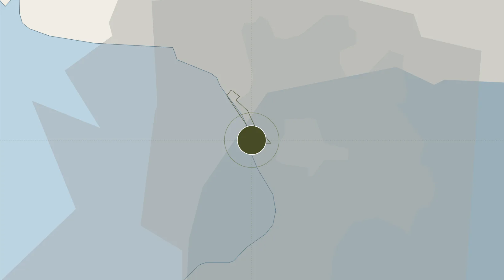
14.6323°, 120.9506°
79 ha
Zone area
5.7 km
Nearest port
15.6 km
Nearest airport

Gateway access

Nearest neighbours — logibook spatial index (haversine) over the source coordinates

Zone profile

Zone type
Diversified Zone
Open Zone Map
Region
Navotas
Open Zone Map
Status
Active
Open Zone Map
Management
Private
Open Zone Map
Operator
R-II Builders, Inc.
Open Zone Map
Legal framework
Special Economic Zone Act (Republic Act No. 7916) (as amended by Republic Act No. 8748)
Open Zone Map

Location

Location of ozm-3165
Natural Earth 10m (public domain) · Navotas · ozm-3165 · 14.63, 120.95GoogleOSMYandex

Nearby Logistics Neighbours

Ports
  1. 1Manila6 km
  2. 2Mariveles55 km
  3. 3Nasugbu71 km
  4. 4Subic Bay76 km
  5. 5Batangas City99 km
Nearest neighbours — logibook spatial index (haversine) over the source coordinates
Airports
  1. 1Ninoy Aquino International Airport16 km
  2. 2Danilo Atienza Air Base16 km
  3. 3Clark International Airport / Clark Air Base75 km
  4. 4Subic Bay International Airport / Naval Air Station Cubi Point75 km
  5. 5Lubang Airport126 km
Nearest neighbours — logibook spatial index (haversine) over the source coordinates
Cities
  1. 1Navotas1 km
  2. 2Caloocan City3 km
  3. 3Manila North Harbour6 km
  4. 4Manila7 km
  5. 5Philippines8 km
Nearest neighbours — logibook spatial index (haversine) over the source coordinates
Trade Zones
  1. 1MC Mall Information Technology Building3 km
  2. 2The Orchard Tower Manila3 km
  3. 3Amihan Woodlands Township4 km
  4. 4Maria Cristina Building4 km
  5. 5Pagbilao Industrial & Science Park4 km
Nearest neighbours — logibook spatial index (haversine) over the source coordinates
DatabookThe Record of Consolidated Knowledge
Philippines beyond logistics?
Browse databook

All Sources

Trade ZonesOpen Zone Map
CC BY
Portsthe NGA World Port Index
Public domain (US gov)
AirportsOurAirports
Public domain
LocationsUN/LOCODE
UN/LOCODE — free
← Philippines trade zones