Diversified Zone · Philippines

Amihan Woodlands Township Active
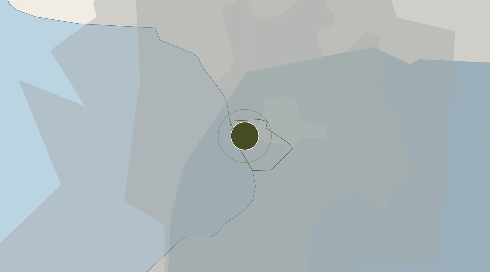
14.6066°, 120.9688°
2,322 ha
Zone area
2.6 km
Nearest port
12.2 km
Nearest airport

Gateway access

Nearest neighbours — logibook spatial index (haversine) over the source coordinates

Zone profile

Zone type
Diversified Zone
Open Zone Map
Region
Manila
Open Zone Map
Status
Active
Open Zone Map
Management
Private
Open Zone Map
Operator
MRC Allied Industries Inc.
Open Zone Map
Legal framework
Special Economic Zone Act (Republic Act No. 7916) (as amended by Republic Act No. 8748)
Open Zone Map

Location

Location of ozm-3229
Natural Earth 10m (public domain) · Manila · ozm-3229 · 14.61, 120.97GoogleOSMYandex

Nearby Logistics Neighbours

Ports
  1. 1Manila3 km
  2. 2Mariveles56 km
  3. 3Nasugbu70 km
  4. 4Subic Bay79 km
  5. 5Batangas City96 km
Nearest neighbours — logibook spatial index (haversine) over the source coordinates
Airports
  1. 1Ninoy Aquino International Airport12 km
  2. 2Danilo Atienza Air Base14 km
  3. 3Subic Bay International Airport / Naval Air Station Cubi Point78 km
  4. 4Clark International Airport / Clark Air Base78 km
  5. 5Lubang Airport125 km
Nearest neighbours — logibook spatial index (haversine) over the source coordinates
Cities
  1. 1Manila3 km
  2. 2Navotas4 km
  3. 3Manila North Harbour4 km
  4. 4Philippines4 km
  5. 5Caloocan City4 km
Nearest neighbours — logibook spatial index (haversine) over the source coordinates
Trade Zones
  1. 1The Orchard Tower Manila0 km
  2. 2Pagbilao Industrial & Science Park1 km
  3. 3World Trade Exchange Building1 km
  4. 4New Washington Yacht Club Resorts2 km
  5. 5San Lazaro Tourism and Business Park2 km
Nearest neighbours — logibook spatial index (haversine) over the source coordinates
DatabookThe Record of Consolidated Knowledge
Philippines beyond logistics?
Browse databook

All Sources

Trade ZonesOpen Zone Map
CC BY
Portsthe NGA World Port Index
Public domain (US gov)
AirportsOurAirports
Public domain
LocationsUN/LOCODE
UN/LOCODE — free
← Philippines trade zones