Specialized Zone · Philippines
Silver City Active
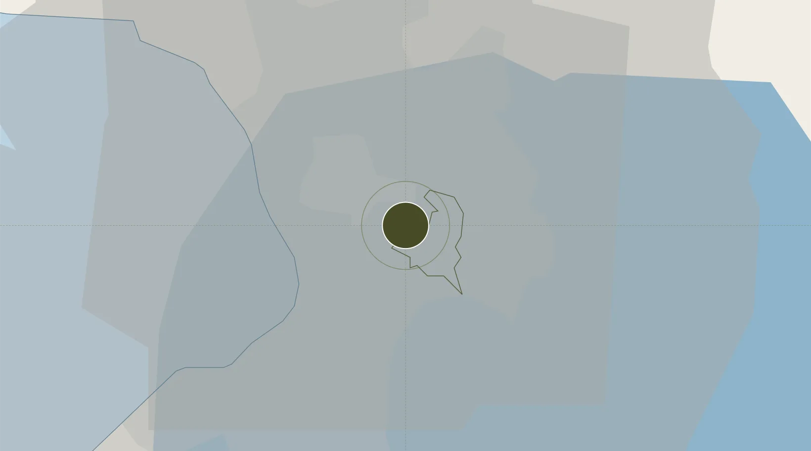
14.5846°, 121.0760°
5 ha
Zone area
11.8 km
Nearest port
10.4 km
Nearest airport
Gateway access
Zone profile
Zone type
Specialized Zone
Specialization
IT
Region
Pasig
Status
Active
Management
Private
Operator
Ortigas and Company, Limited Partnership
Legal framework
Special Economic Zone Act (Republic Act No. 7916) (as amended by Republic Act No. 8748)
Location
Nearby Logistics Neighbours
Ports
- 1Manila12 km
- 2Mariveles66 km
- 3Nasugbu75 km
- 4Subic Bay90 km
- 5Batangas City93 km
Airports
Cities
- 1Libis2 km
- 2Muntinlupa City5 km
- 3Santa Rosa5 km
- 4San Juan7 km
- 5Quezon City7 km
Trade Zones
- 1Silver City 2 & 30 km
- 2Transcom Center0 km
- 3Silver City 41 km
- 4ArcoVia City1 km
- 5Reliance I.T. Center1 km
DatabookThe Record of Consolidated Knowledge
Philippines beyond logistics?