Specialized Zone · Philippines

North-South Agro-Industrial Compound-Pasig Under Development
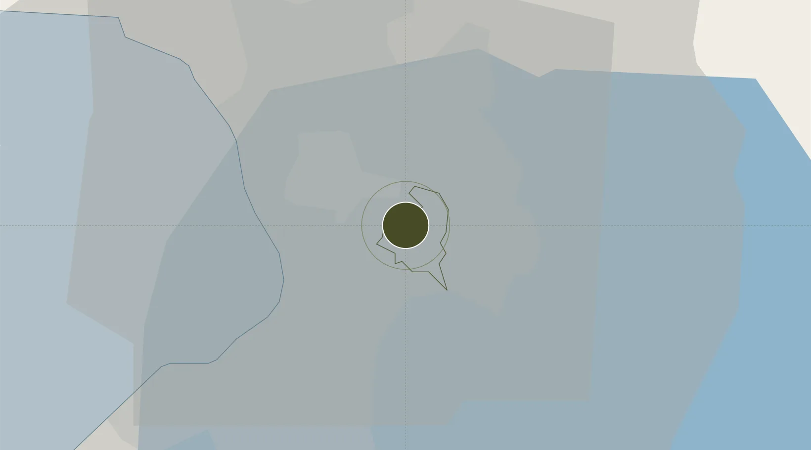
14.5812°, 121.0892°
3 ha
Zone area
13.2 km
Nearest port
11.0 km
Nearest airport

Gateway access

Nearest neighbours — logibook spatial index (haversine) over the source coordinates

Zone profile

Zone type
Specialized Zone
Open Zone Map
Specialization
Agriculture
Open Zone Map
Region
Pasig
Open Zone Map
Status
Under Development
Open Zone Map
Management
Private
Open Zone Map
Operator
North-South Realty and Agricultural Development Corporation
Open Zone Map
Legal framework
Special Economic Zone Act (Republic Act No. 7916) (as amended by Republic Act No. 8748)
Open Zone Map

Location

Location of ozm-3330
Natural Earth 10m (public domain) · Pasig · ozm-3330 · 14.58, 121.09GoogleOSMYandex

Nearby Logistics Neighbours

Ports
  1. 1Manila13 km
  2. 2Mariveles67 km
  3. 3Nasugbu75 km
  4. 4Subic Bay92 km
  5. 5Batangas City93 km
Nearest neighbours — logibook spatial index (haversine) over the source coordinates
Airports
  1. 1Ninoy Aquino International Airport11 km
  2. 2Danilo Atienza Air Base22 km
  3. 3Clark International Airport / Clark Air Base88 km
  4. 4Subic Bay International Airport / Naval Air Station Cubi Point91 km
  5. 5Lubang Airport133 km
Nearest neighbours — logibook spatial index (haversine) over the source coordinates
Cities
  1. 1Libis3 km
  2. 2Santa Rosa3 km
  3. 3Muntinlupa City6 km
  4. 4San Juan8 km
  5. 5Quezon City8 km
Nearest neighbours — logibook spatial index (haversine) over the source coordinates
Trade Zones
  1. 1PSMT IT Building1 km
  2. 2Transcom Center1 km
  3. 3Silver City2 km
  4. 4Silver City 2 & 32 km
  5. 5Silver City 42 km
Nearest neighbours — logibook spatial index (haversine) over the source coordinates
DatabookThe Record of Consolidated Knowledge
Philippines beyond logistics?
Browse databook

All Sources

Trade ZonesOpen Zone Map
CC BY
Portsthe NGA World Port Index
Public domain (US gov)
AirportsOurAirports
Public domain
LocationsUN/LOCODE
UN/LOCODE — free
← Philippines trade zones