Export Processing Zone · Pakistan

Karachi Export Processing Zone Active
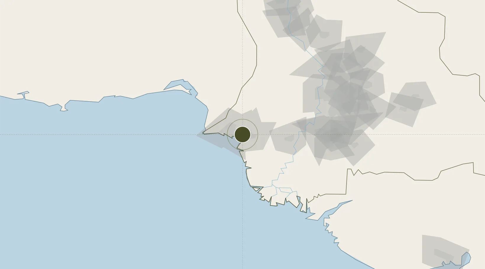
24.8284°, 67.2321°
85 ha
Zone area
13.7 km
Nearest port
11.3 km
Nearest airport

Gateway access

Nearest neighbours — logibook spatial index (haversine) over the source coordinates

Zone profile

Zone type
Export Processing Zone
Open Zone Map
Region
Sind
Open Zone Map
Status
Active
Open Zone Map
Management
Public
Open Zone Map
Operator
Export Processing Zones Authority
Open Zone Map
Legal framework
Export Processing Zones Authority Ordinance 1980 (IV of 1980);
Open Zone Map

Location

Location of ozm-3043
Natural Earth 10m (public domain) · Sind · ozm-3043 · 24.83, 67.23GoogleOSMYandex

Nearby Logistics Neighbours

Ports
  1. 1Muhamamad Bin Qasim14 km
  2. 2Karachi26 km
  3. 3Mandvi309 km
  4. 4Okha323 km
  5. 5Mundra343 km
Nearest neighbours — logibook spatial index (haversine) over the source coordinates
Airports
  1. 1Jinnah International Airport11 km
  2. 2Faisal Air Base13 km
  3. 3Masroor Air Base31 km
  4. 4Hyderabad Airport127 km
  5. 5Sehwan Sharif Airport189 km
Nearest neighbours — logibook spatial index (haversine) over the source coordinates
Cities
  1. 1Muhammad Bin Qasim/Karachi11 km
  2. 2Karachi Freight Terminal21 km
  3. 3Karachi22 km
  4. 4Karachi Container Terminal27 km
  5. 5Kiamari27 km
Nearest neighbours — logibook spatial index (haversine) over the source coordinates
Trade Zones
  1. 1Karachi Export Processing Zone1 km
  2. 2Quaid-E-Azim Apparel Park11 km
  3. 3Al-Tuwairqi Steel Mill Export Processing Zone11 km
  4. 4Industrial Park Pakistan Steel Mills Port Qasim12 km
  5. 5Korangi Creek Industrial Park14 km
Nearest neighbours — logibook spatial index (haversine) over the source coordinates
DatabookThe Record of Consolidated Knowledge
Pakistan beyond logistics?
Browse databook

All Sources

Trade ZonesOpen Zone Map
CC BY
Portsthe NGA World Port Index
Public domain (US gov)
AirportsOurAirports
Public domain
LocationsUN/LOCODE
UN/LOCODE — free
← Pakistan trade zones