About
Methodology
Sources
Licensing
English
EN
English
TR
Türkçe
DE
Deutsch
FR
Français
ES
Español
IT
Italiano
PT
Português
NL
Nederlands
PL
Polski
RU
Русский
UK
Українська
CS
Čeština
RO
Română
EL
Ελληνικά
BG
Български
AR
العربية
FA
فارسی
UR
اردو
HI
हिन्दी
BN
বাংলা
ID
Bahasa Indonesia
VI
Tiếng Việt
ZH
中文
JA
日本語
KO
한국어
logibook
/
Countries
/
Albania
/
Locations
/
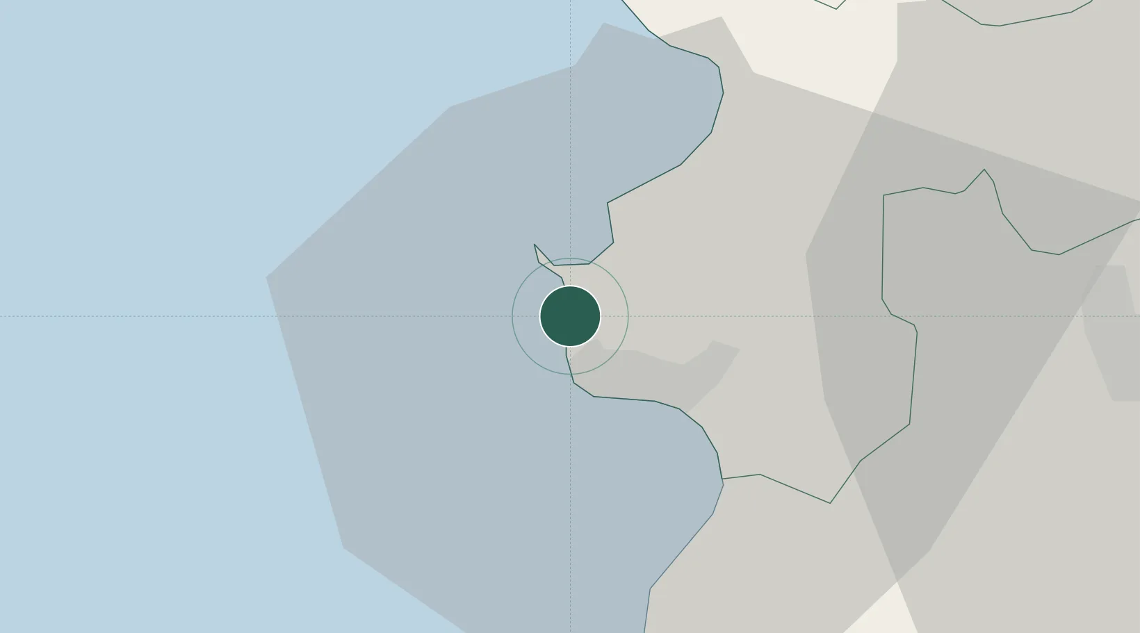
Romano Port
UN/LOCODE hub ·
Albania
AL
ROM
Romano Port
41.3667°, 19.4167°
2
Transport functions
Transport Functions
Port
Road
Romano Port is also a profiled seaport →
UN/LOCODE
Hub Profile
Region
02
GeoNames
Location
Natural Earth 10m (public domain) · 02 · ALROM · 41.37, 19.42
Google ↗
OSM ↗
Yandex ↗
Nearby Logistics Neighbours
Cities
1
Durrës
5 km
2
Shëngjin
50 km
3
Elbasan
62 km
4
Ulcinj
64 km
5
Fier
72 km
Nearest neighbours — logibook spatial index (haversine) over the source coordinates
Ports
1
Durres
6 km
2
Shengjin
52 km
3
Bar
84 km
4
Vlore
100 km
5
Kotor
129 km
Nearest neighbours — logibook spatial index (haversine) over the source coordinates
Airports
1
Tirana International Airport Mother Teresa
26 km
2
Kuçovë Air Base
78 km
3
Podgorica Airport / Podgorica Golubovci Airbase
111 km
4
Kukës International Airport
111 km
5
Ohrid St. Paul the Apostle Airport
113 km
Nearest neighbours — logibook spatial index (haversine) over the source coordinates
Trade Zones
1
Porto Romano Free Port Zone
2 km
2
Spitalle Spitalla Technical and Economic Development Area
4 km
3
Tirana Freezone
25 km
4
Lezhë Industrial Park
51 km
5
Shëngjin Industrial Complex
51 km
Nearest neighbours — logibook spatial index (haversine) over the source coordinates
Data
book
The Record of Consolidated Knowledge
Albania beyond logistics?
Browse databook
→
All Sources
Locations
UN/LOCODE
UN/LOCODE — free
↗
Ports
the NGA World Port Index
Public domain (US gov)
↗
Airports
OurAirports
Public domain
↗
Trade Zones
the World Bank SEZ database
CC BY 4.0
↗
Trade Zones
Open Zone Map
CC BY
↗
← Albania locations