Transport Functions
Rail
Road
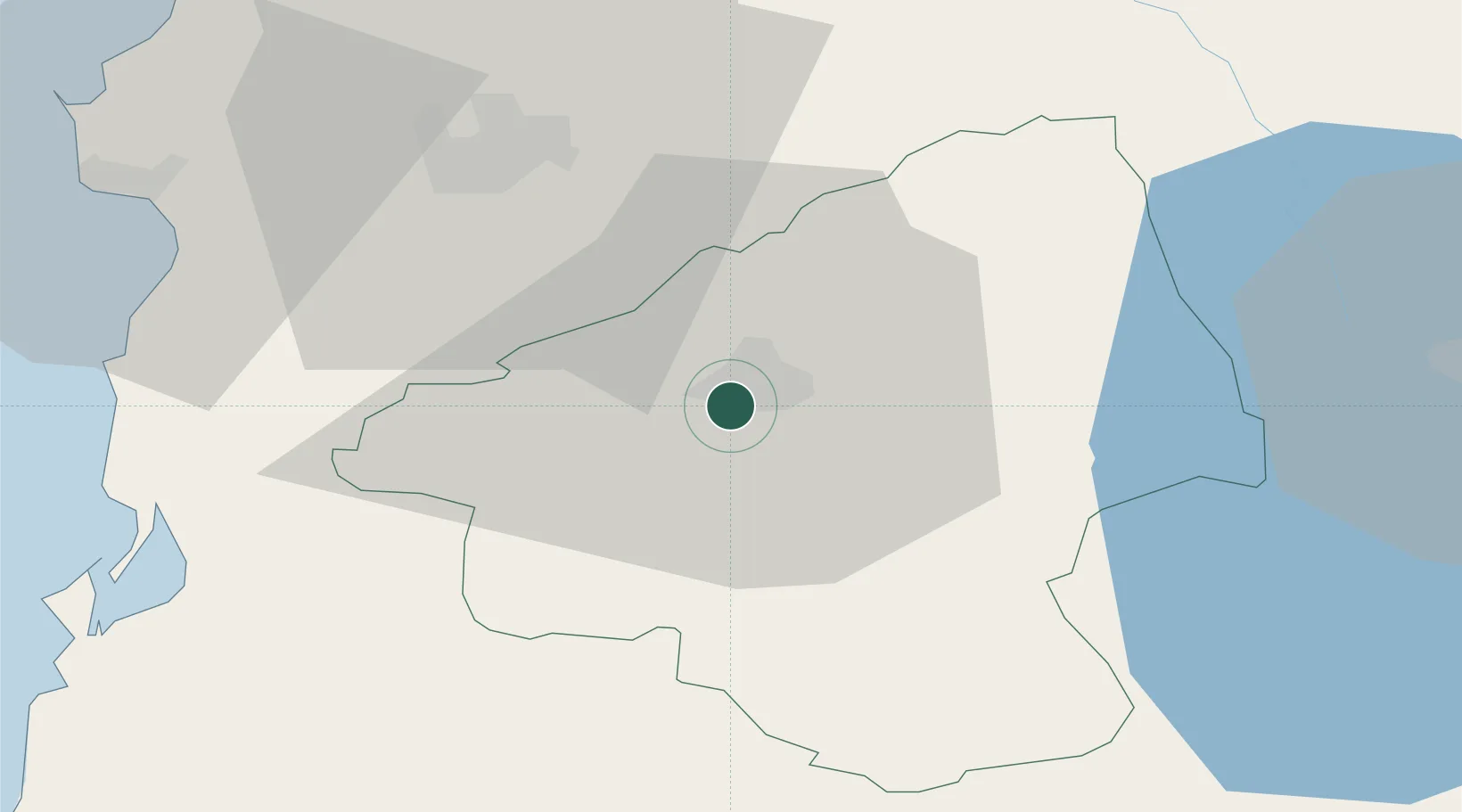
Hub Profile
Place type
Regional capital
Region
Elbasan County
Population
100,903
Time zone
Europe/Tirane
Elevation
126 m
Location
Nearby Logistics Neighbours
Cities
- 1Berat44 km
- 2Durrës58 km
- 3Fier59 km
- 4Romano Port62 km
- 5Vlorë86 km
Ports
- 1Durres57 km
- 2Porto Romano63 km
- 3Vlore85 km
- 4Shengjin89 km
- 5Bar137 km
Airports
Trade Zones
DatabookThe Record of Consolidated Knowledge
Albania beyond logistics?