Medium airport · Albania

Kukës International AirportLAKU
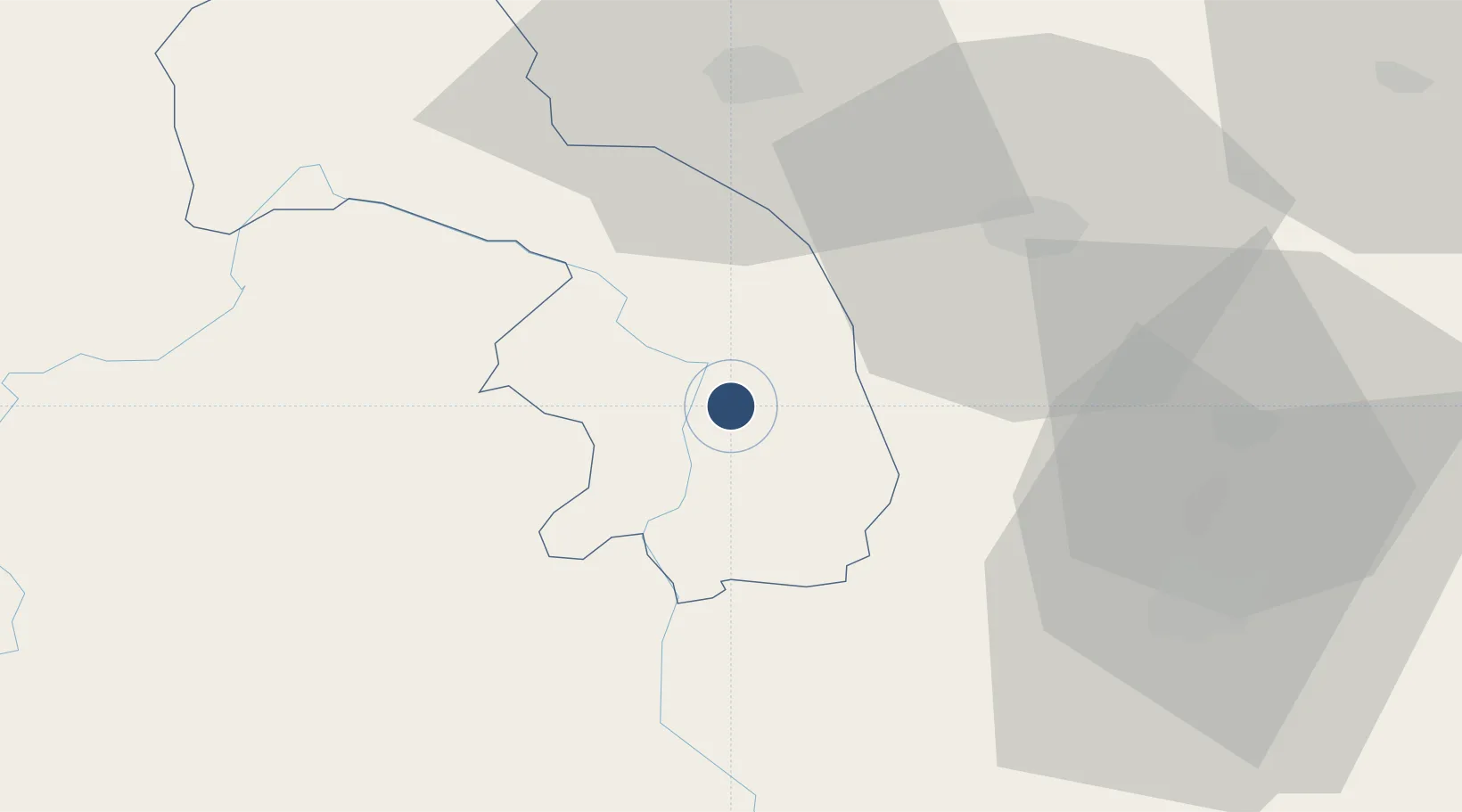
42.0358°, 20.4160°
7,211 ft
Longest runway
1
Runways
1,120 ft
Elevation

Runway & Layout

Kukës International Airport runway & taxiway layout
Runway & taxiway layout — OpenStreetMap (ODbL) / OurAirports

Runways · 1

RunwayDimensions SurfaceTrue headingLit
01/19 7,211 × 98ft ASPH 012°
OurAirports

Airport Specifications

IATA code
KFZ
OurAirports
ICAO code
LAKU
OurAirports
Airport class
Medium airport
OurAirports
Scheduled service
No
OurAirports
Runway surface
ASPH
OurAirports
Served city
Kukës
OurAirports

Location

Location of LAKU
Natural Earth 10m (public domain) · Kukës · LAKU · 42.04, 20.42GoogleOSMYandex

Nearby Logistics Neighbours

Cities
  1. 1Kukës5 km
  2. 2Fushe Arrez33 km
  3. 3Prizren33 km
  4. 4Orahovac43 km
  5. 5Shkozet70 km
Nearest neighbours — logibook spatial index (haversine) over the source coordinates
Ports
  1. 1Shengjin72 km
  2. 2Bar110 km
  3. 3Porto Romano110 km
  4. 4Durres113 km
  5. 5Kotor142 km
Nearest neighbours — logibook spatial index (haversine) over the source coordinates
Trade Zones
  1. 1Free Economic Zone in Prizren32 km
  2. 2Dutch Industrial Park in Prizren (Zinkunie)35 km
  3. 3Free Economic Zone in Gjakovë Djakova38 km
  4. 4Economic Zone In Opterushë-Rahovec44 km
  5. 5Industrial Park in Suha Reka46 km
Nearest neighbours — logibook spatial index (haversine) over the source coordinates
DatabookThe Record of Consolidated Knowledge
Albania beyond logistics?
Browse databook

All Sources

AirportsOurAirports
Public domain
Portsthe NGA World Port Index
Public domain (US gov)
LocationsUN/LOCODE
UN/LOCODE — free
Trade Zonesthe World Bank SEZ database
CC BY 4.0
Trade ZonesOpen Zone Map
CC BY
InfrastructureOpenStreetMap
ODbL 1.0
← Albania airports