Small airport · Greece

Kastoria National Airport AristotleLGKA
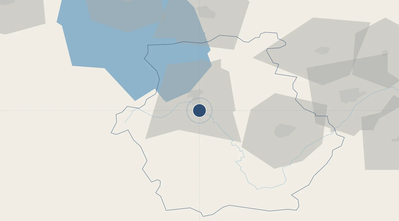
40.4463°, 21.2822°
8,852 ft
Longest runway
1
Runways
2,167 ft
Elevation

Runway & Layout

Kastoria National Airport Aristotle runway & taxiway layout
Runway & taxiway layout — OpenStreetMap (ODbL) / OurAirports

Radio Frequencies

A/G
563.7 MHz
KASTORIA RDO
AFIS
118.4 MHz
KASTORIA INFO
OurAirports

Navaids

KAS VOR-DME Kastoria 114.50 MHz
KSO NDB Kastoria 372 kHz
OurAirports

Runways · 1

RunwayDimensions SurfaceTrue headingLit
12/30 8,852 × 148ft Asphalt 122°
OurAirports

Airport Specifications

IATA code
KSO
OurAirports
ICAO code
LGKA
OurAirports
Airport class
Small airport
OurAirports
Scheduled service
Yes
OurAirports
Runway surface
Asphalt
OurAirports
Served city
Argos Orestiko
OurAirports

Location

Location of LGKA
Natural Earth 10m (public domain) · Dytiki Makedonia · LGKA · 40.45, 21.28GoogleOSMYandex

Nearby Logistics Neighbours

Airports
  1. 1Kozani National Airport Filippos51 km
  2. 2Ioannina King Pyrrhus National Airport92 km
  3. 3Ohrid St. Paul the Apostle Airport93 km
  4. 4Kuçovë Air Base122 km
  5. 5Thessaloniki Macedonia International Airport143 km
Nearest neighbours — logibook spatial index (haversine) over the source coordinates
Cities
  1. 1Pyli41 km
  2. 2Amíndaion43 km
  3. 3Bitola64 km
  4. 4Stenimahos73 km
  5. 5Kopanós74 km
Nearest neighbours — logibook spatial index (haversine) over the source coordinates
Ports
  1. 1Thessaloniki141 km
  2. 2Kerkira147 km
  3. 3Vlore151 km
  4. 4Preveza173 km
  5. 5Durres182 km
Nearest neighbours — logibook spatial index (haversine) over the source coordinates
Trade Zones
  1. 1Korçë Freezone46 km
  2. 2Pogradec Freezone72 km
  3. 3Përmet Freezone82 km
  4. 4TIDZ Struga93 km
  5. 5TIDZ Prilep94 km
Nearest neighbours — logibook spatial index (haversine) over the source coordinates
DatabookThe Record of Consolidated Knowledge
Greece beyond logistics?
Browse databook

All Sources

AirportsOurAirports
Public domain
Portsthe NGA World Port Index
Public domain (US gov)
LocationsUN/LOCODE
UN/LOCODE — free
Trade Zonesthe World Bank SEZ database
CC BY 4.0
Trade ZonesOpen Zone Map
CC BY
InfrastructureOpenStreetMap
ODbL 1.0
← Greece airports