UN/LOCODE hub · Albania
ALDRZ

Durrës

41.3350°, 19.4503°
195,920
Population
1
Transport functions

Transport Functions

Port
Durrës is also a profiled seaport →
UN/LOCODE

Hub Profile

Place type
Regional capital
GeoNames
Region
Durrës County
GeoNames
Population
195,920
GeoNames
Time zone
Europe/Tirane
GeoNames
Elevation
0 m
GeoNames
Logistics facilities
6
UN/LOCODE

Location

Location of ALDRZ
Natural Earth 10m (public domain) · Durrës County · ALDRZ · 41.33, 19.45GoogleOSMYandex

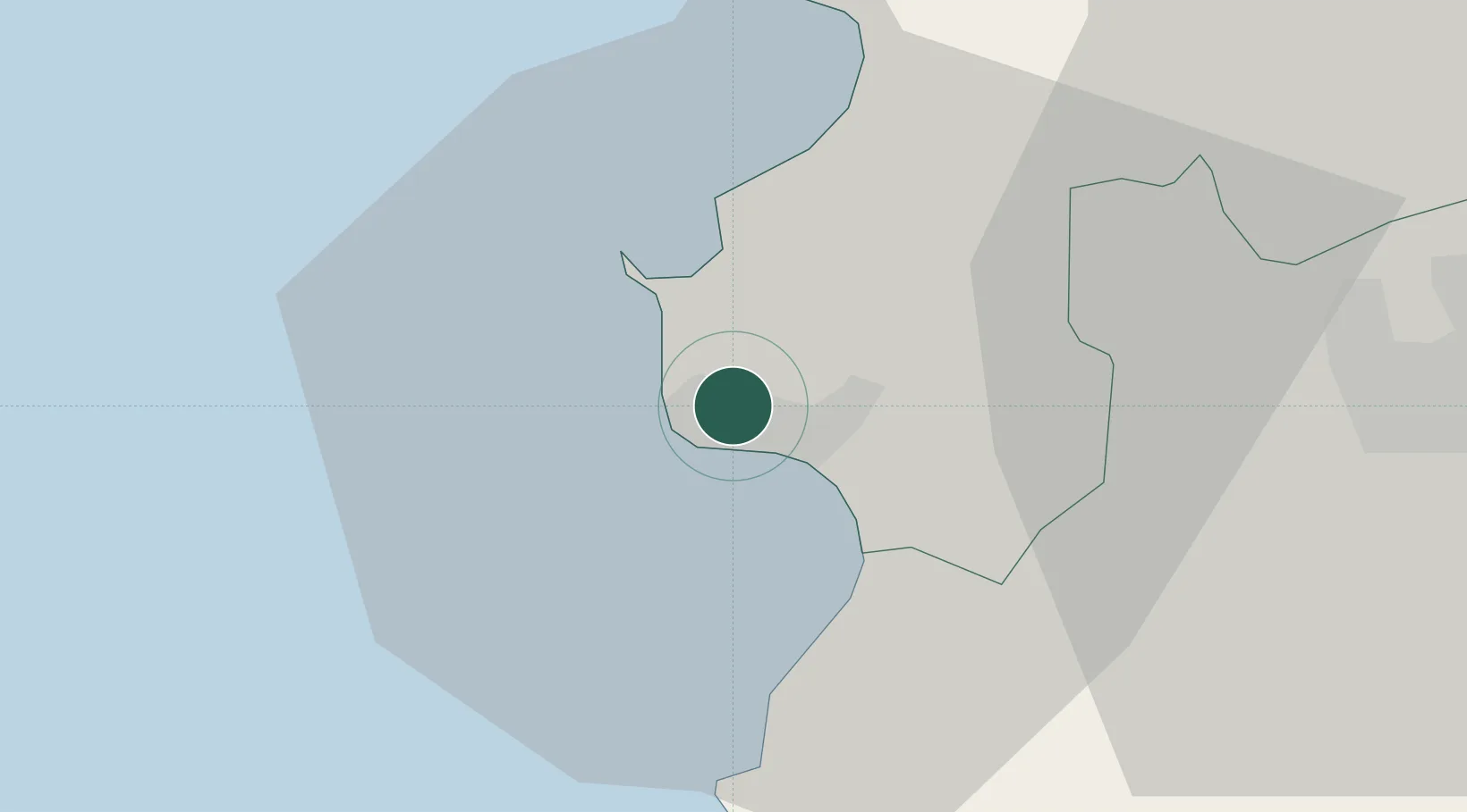
Nearby Logistics Neighbours

Cities
  1. 1Romano Port5 km
  2. 2Shëngjin53 km
  3. 3Elbasan58 km
  4. 4Fier68 km
  5. 5Ulcinj68 km
Nearest neighbours — logibook spatial index (haversine) over the source coordinates
Ports
  1. 1Porto Romano6 km
  2. 2Shengjin55 km
  3. 3Bar89 km
  4. 4Vlore97 km
  5. 5Kotor133 km
Nearest neighbours — logibook spatial index (haversine) over the source coordinates
Airports
  1. 1Tirana International Airport Mother Teresa24 km
  2. 2Kuçovë Air Base73 km
  3. 3Ohrid St. Paul the Apostle Airport109 km
  4. 4Kukës International Airport112 km
  5. 5Podgorica Airport / Podgorica Golubovci Airbase115 km
Nearest neighbours — logibook spatial index (haversine) over the source coordinates
Trade Zones
  1. 1Spitalle Spitalla Technical and Economic Development Area0 km
  2. 2Porto Romano Free Port Zone5 km
  3. 3Tirana Freezone22 km
  4. 4Lezhë Industrial Park53 km
  5. 5Shëngjin Industrial Complex54 km
Nearest neighbours — logibook spatial index (haversine) over the source coordinates
DatabookThe Record of Consolidated Knowledge
Albania beyond logistics?
Browse databook

All Sources

LocationsUN/LOCODE
UN/LOCODE — free
LocationsGeoNames
CC BY 4.0
Portsthe NGA World Port Index
Public domain (US gov)
AirportsOurAirports
Public domain
Trade Zonesthe World Bank SEZ database
CC BY 4.0
Trade ZonesOpen Zone Map
CC BY
← Albania locations