Transport Functions
Rail
Road
Hub Profile
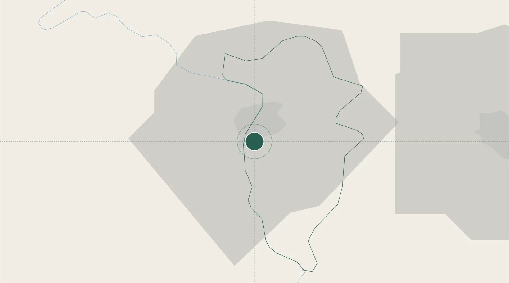
Place type
Populated place
Region
Transnistria
Population
55,455
Time zone
Europe/Chisinau
Elevation
96 m
Location
Nearby Logistics Neighbours
Cities
- 1Balta50 km
- 2Pervomaysk57 km
- 3Straseni75 km
- 4Balti (Bel'cy)81 km
- 5Floresti86 km
Ports
- 1Odesa192 km
- 2Yuzhnyy199 km
- 3Belgorod-Dnestrovsky203 km
- 4Illichivsk204 km
- 5Mykolayiv242 km
Airports
DatabookThe Record of Consolidated Knowledge
Moldova beyond logistics?