Transport Functions
Rail
Road
Hub Profile
Region
L
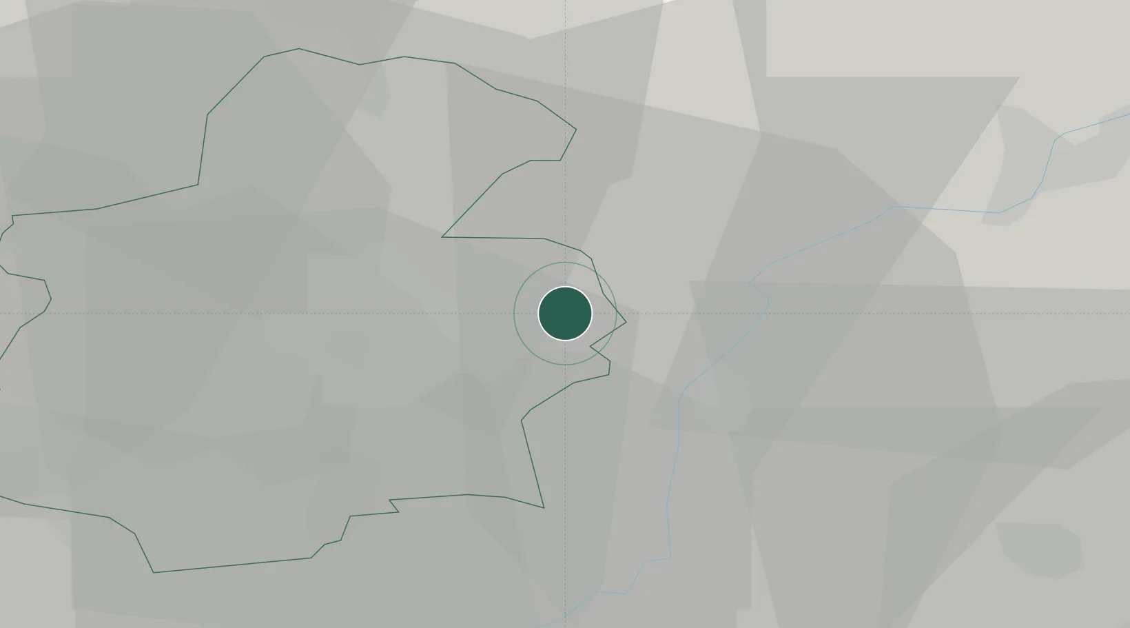
Location
Nearby Logistics Neighbours
Cities
- 1Findel5 km
- 2Moutfort6 km
- 3Oetrange6 km
- 4Dommeldange10 km
- 5Wormeldange10 km
Airports
Trade Zones
- 1Luxembourg Free Port3 km
- 2ZFU Woippy-Metz54 km
- 3ZFU Metz59 km
- 4ZFU La Cité Behren-lès-Forbach71 km
- 5ZFU Maxéville, Laxou, et de Nancy103 km
DatabookThe Record of Consolidated Knowledge
Luxembourg beyond logistics?