Transport Functions
Rail
Road
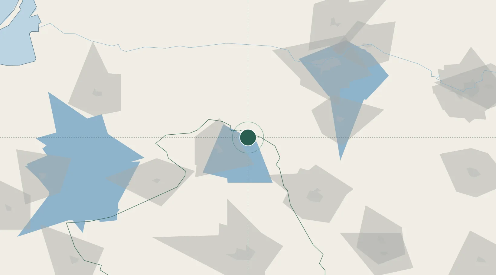
Hub Profile
Place type
Populated place
Region
Podlasie
Time zone
Europe/Warsaw
Elevation
150 m
Location
Nearby Logistics Neighbours
Cities
- 1Mockava13 km
- 2Sestokai21 km
- 3Augustów45 km
- 4Kybartai54 km
- 5Kazlu Ruda62 km
Ports
- 1Kaliningrad183 km
- 2Klaipeda212 km
- 3Baltiysk218 km
- 4Butinge Oil Terminal246 km
- 5Liepaja289 km
Airports
- 1Hrodna Airport90 km
- 2Kaunas International Airport99 km
- 3Chernyakhovsk Naval Air Base100 km
- 4Jonava Air Base114 km
- 5Kėdainiai Air Base129 km
Trade Zones
DatabookThe Record of Consolidated Knowledge
Poland beyond logistics?