Transport Functions
Multimodal
Hub Profile
Place type
Provincial seat
Region
Saitama
Time zone
Asia/Tokyo
Elevation
4 m
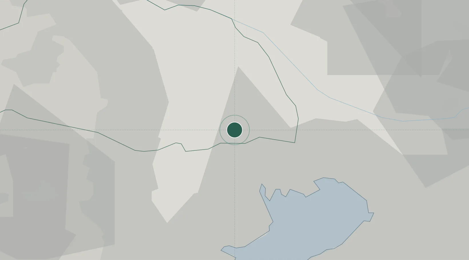
Location
Nearby Logistics Neighbours
Ports
- 1Tokyo Ko18 km
- 2Funabashi29 km
- 3Kawasaki Ko36 km
- 4Yokohama Ko42 km
- 5Chiba Ko43 km
Airports
- 1Chofu Airport21 km
- 2Iruma Air Base25 km
- 3JMSDF Shimofusa Air Base30 km
- 4Tokyo Haneda International Airport31 km
- 5Yokota Air Base31 km
DatabookThe Record of Consolidated Knowledge
Japan beyond logistics?