Transport Functions
Multimodal
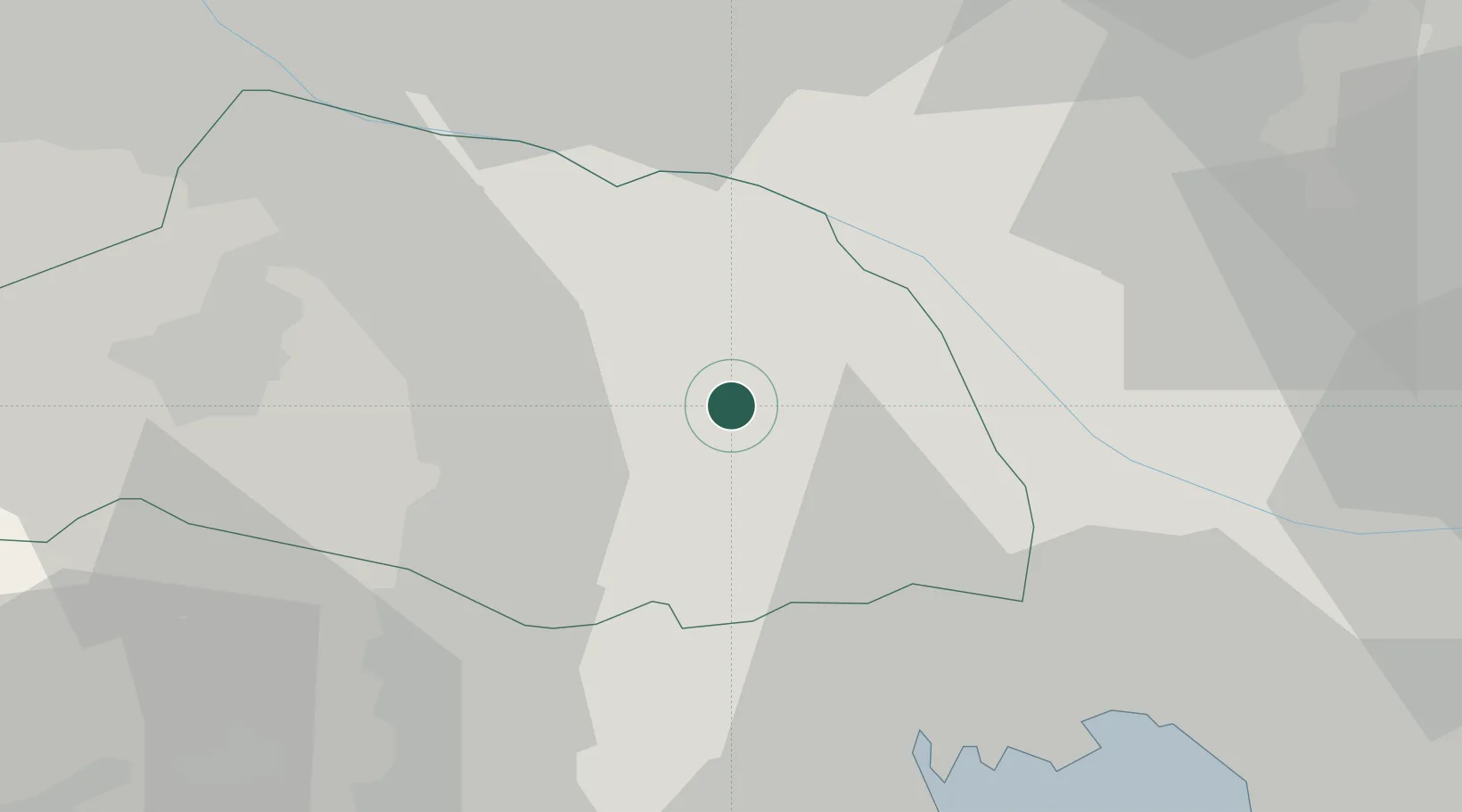
Hub Profile
Place type
Provincial seat
Region
Saitama
Population
226,940
Time zone
Asia/Tokyo
Elevation
17 m
Location
Nearby Logistics Neighbours
Cities
- 1Ina Saitama5 km
- 2Okegawa8 km
- 3Hasuda8 km
- 4Shiraoka9 km
- 5Kuki13 km
Ports
- 1Tokyo Ko37 km
- 2Funabashi47 km
- 3Kawasaki Ko55 km
- 4Yokohama Ko58 km
- 5Chiba Ko61 km
Airports
- 1Iruma Air Base21 km
- 2Yokota Air Base32 km
- 3Chofu Airport33 km
- 4JMSDF Shimofusa Air Base43 km
- 5Tokyo Haneda International Airport50 km
DatabookThe Record of Consolidated Knowledge
Japan beyond logistics?