Transport Functions
Multimodal
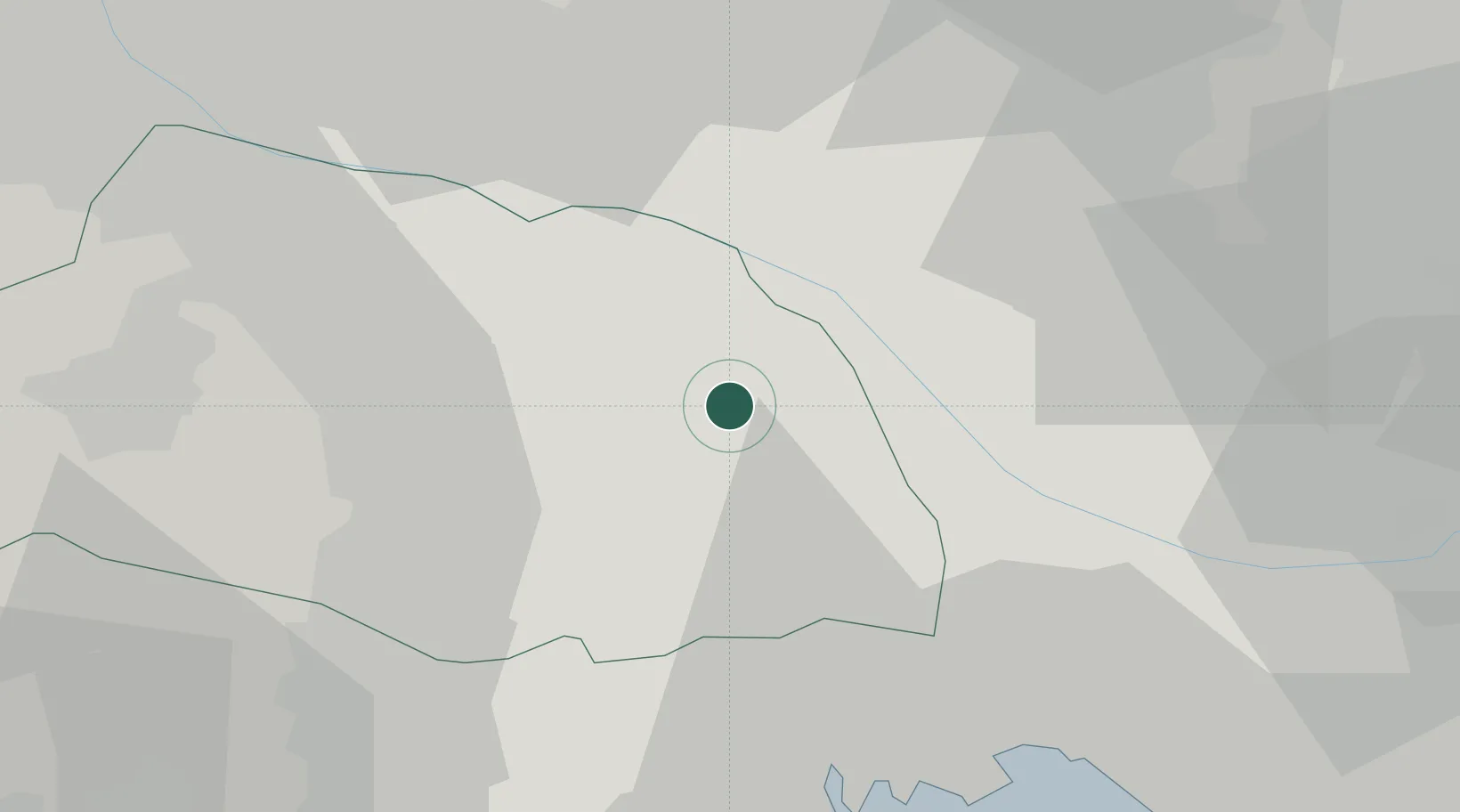
Hub Profile
Place type
Provincial seat
Region
Saitama
Population
61,540
Time zone
Asia/Tokyo
Elevation
13 m
Location
Nearby Logistics Neighbours
Cities
- 1Shiraoka2 km
- 2Ina Saitama5 km
- 3Kuki7 km
- 4Ageo8 km
- 5Washimiya11 km
Ports
- 1Tokyo Ko38 km
- 2Funabashi45 km
- 3Kawasaki Ko56 km
- 4Chiba Ko59 km
- 5Yokohama Ko62 km
Airports
- 1Iruma Air Base29 km
- 2JMSDF Shimofusa Air Base38 km
- 3Chofu Airport39 km
- 4Yokota Air Base40 km
- 5Tokyo Haneda International Airport51 km
DatabookThe Record of Consolidated Knowledge
Japan beyond logistics?