Runway & Layout

Airport Specifications
Airport class
Medium airport
Scheduled service
No
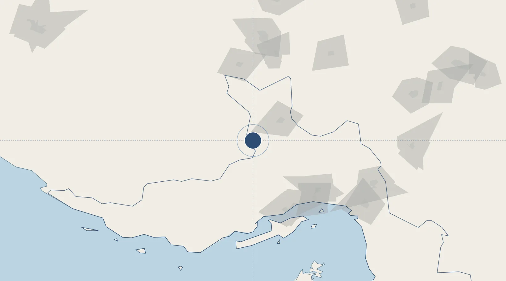
Served city
Tarom Rural District
Location
Nearby Logistics Neighbours
Airports
- 1Lar Airport119 km
- 2Bandar Abbas International Airport125 km
- 3Qeshm International Airport149 km
- 4Sirjan Airport168 km
- 5Bandar Lengeh International Airport182 km
Cities
- 1Shahid Rajaee Pt/Bandar Abbas117 km
- 2Bandar Abbas118 km
- 3Shahid Bahonar122 km
- 4Kuvei131 km
- 5Amirabad175 km
Ports
- 1Bandar-E Shahid Rejaie118 km
- 2Bandar Abbas120 km
- 3Jazireh-Ye Hormoz140 km
- 4Khawr Khasab216 km
- 5Hulaylah Oil Terminal233 km
DatabookThe Record of Consolidated Knowledge
Iran beyond logistics?