Transport Functions
Rail
Road
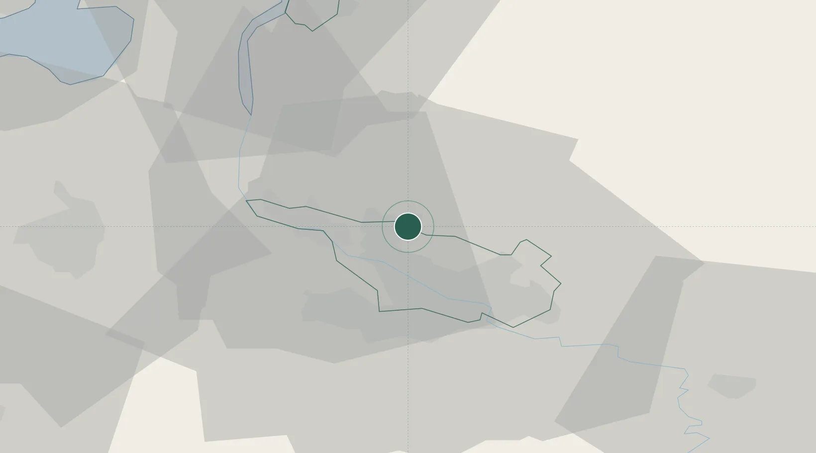
Hub Profile
Place type
Local administrative seat
Region
Lower Saxony
Population
14,192
Time zone
Europe/Berlin
Elevation
28 m
Location
Nearby Logistics Neighbours
Cities
- 1Oslebshausen4 km
- 2Osterholz-Scharmbeck7 km
- 3Neuenfelde8 km
- 4Mittelsbüren8 km
- 5Lemwerder9 km
Airports
Trade Zones
DatabookThe Record of Consolidated Knowledge
Germany beyond logistics?