Transport Functions
Port
Rail
Road
Airport
Postal
Hub Profile
Place type
Regional capital
Region
City state Bremen
Population
546,501
Time zone
Europe/Berlin
Elevation
17 m
Logistics facilities
21
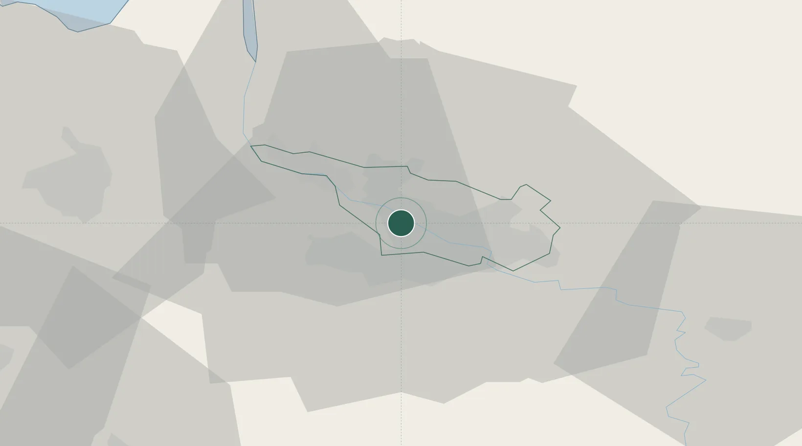
Location
Nearby Logistics Neighbours
Cities
- 1Oslebshausen5 km
- 2Mittelsbüren6 km
- 3Ritterhude9 km
- 4Delmenhorst10 km
- 5Lemwerder11 km
Ports
- 1Elsfleth23 km
- 2Brake31 km
- 3Oldenburg35 km
- 4Nordenham46 km
- 5Bremerhaven49 km
Airports
Trade Zones
DatabookThe Record of Consolidated Knowledge
Germany beyond logistics?