Diversified Zone · Georgia

Kulevi Free Industrial Zone Under Development
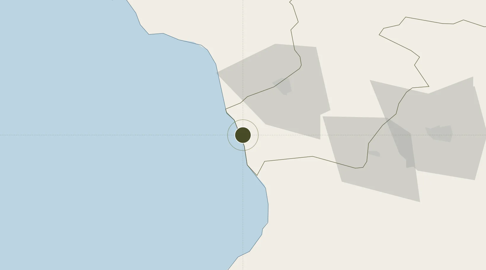
42.2700°, 41.6416°
59 ha
Zone area
19.9 km
Nearest port
33.4 km
Nearest airport

Gateway access

Nearest neighbours — logibook spatial index (haversine) over the source coordinates

Zone profile

Zone type
Diversified Zone
Open Zone Map
Region
Samegrelo-Zemo Svaneti
Open Zone Map
Status
Under Development
Open Zone Map
Management
Private
Open Zone Map
Operator
Phasis Oil, Ltd.
Open Zone Map
Legal framework
Law of Georgia No 3806 of 12 November 2010 – LHG I, No 66, 3.12.2010, Art. 414
Open Zone Map

Location

Location of ozm-2036
Natural Earth 10m (public domain) · Samegrelo-Zemo Svaneti · ozm-2036 · 42.27, 41.64GoogleOSMYandex

Nearby Logistics Neighbours

Ports
  1. 1Supsa Marine Terminal20 km
  2. 2Batumi69 km
  3. 3Sokhumi96 km
  4. 4Hopa97 km
  5. 5Rize163 km
Nearest neighbours — logibook spatial index (haversine) over the source coordinates
Airports
  1. 1Senaki Air Base33 km
  2. 2Ozurgeti Air Base42 km
  3. 3David the Builder Kutaisi International Airport70 km
  4. 4Alexander Kartveli Batumi International Airport74 km
  5. 5Vladislav Ardzinba Sukhum International Airport78 km
Nearest neighbours — logibook spatial index (haversine) over the source coordinates
Cities
  1. 1Kulevi1 km
  2. 2Poti12 km
  3. 3Anaklia15 km
  4. 4Sup'sa29 km
  5. 5Zugdidi32 km
Nearest neighbours — logibook spatial index (haversine) over the source coordinates
Trade Zones
  1. 1Poti Free Industrial Zone10 km
  2. 2Kutaisi Free Industrial Zone - Fresh Georgia, LLC.80 km
  3. 3Kutaisi Free Industrial Zone (Hualing)81 km
  4. 4Trabzon Free Zone212 km
  5. 5Gyumri Eurasian Logistic Park248 km
Nearest neighbours — logibook spatial index (haversine) over the source coordinates
DatabookThe Record of Consolidated Knowledge
Georgia beyond logistics?
Browse databook

All Sources

Trade ZonesOpen Zone Map
CC BY
Portsthe NGA World Port Index
Public domain (US gov)
AirportsOurAirports
Public domain
LocationsUN/LOCODE
UN/LOCODE — free
← Georgia trade zones