Diversified Zone · Georgia

Kutaisi Free Industrial Zone (Hualing) Active
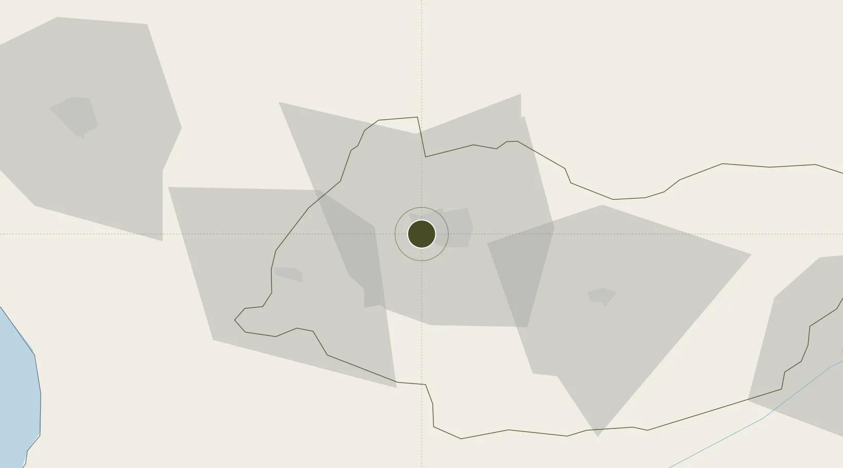
42.2629°, 42.6233°
35 ha
Zone area
76.9 km
Nearest port
14.8 km
Nearest airport

Gateway access

Nearest neighbours — logibook spatial index (haversine) over the source coordinates

Zone profile

Zone type
Diversified Zone
Open Zone Map
Region
Imereti
Open Zone Map
Status
Active
Open Zone Map
Management
Public-Private Partnership
Open Zone Map
Operator
Georgian Huashun International Industrial Investment Group Ltd.
Open Zone Map
Legal framework
Law of Georgia No 3806 of 12 November 2010 – LHG I, No 66, 3.12.2010, Art. 414
Open Zone Map

Location

Location of ozm-2035
Natural Earth 10m (public domain) · Imereti · ozm-2035 · 42.26, 42.62GoogleOSMYandex

Nearby Logistics Neighbours

Ports
  1. 1Supsa Marine Terminal77 km
  2. 2Batumi106 km
  3. 3Hopa138 km
  4. 4Sokhumi156 km
  5. 5Rize220 km
Nearest neighbours — logibook spatial index (haversine) over the source coordinates
Airports
  1. 1David the Builder Kutaisi International Airport15 km
  2. 2Senaki Air Base48 km
  3. 3Ambrolauri Airport51 km
  4. 4Ozurgeti Air Base73 km
  5. 5Mestia Queen Tamar Airport89 km
Nearest neighbours — logibook spatial index (haversine) over the source coordinates
Cities
  1. 1Samtredia27 km
  2. 2Zestap'oni40 km
  3. 3Chrebalo43 km
  4. 4Shorapani44 km
  5. 5Tsalenjikha46 km
Nearest neighbours — logibook spatial index (haversine) over the source coordinates
Trade Zones
  1. 1Kutaisi Free Industrial Zone - Fresh Georgia, LLC.1 km
  2. 2Poti Free Industrial Zone80 km
  3. 3Kulevi Free Industrial Zone81 km
  4. 4Tbilisi Free Industrial Zone192 km
  5. 5Gyumri Eurasian Logistic Park195 km
Nearest neighbours — logibook spatial index (haversine) over the source coordinates
DatabookThe Record of Consolidated Knowledge
Georgia beyond logistics?
Browse databook

All Sources

Trade ZonesOpen Zone Map
CC BY
Portsthe NGA World Port Index
Public domain (US gov)
AirportsOurAirports
Public domain
LocationsUN/LOCODE
UN/LOCODE — free
← Georgia trade zones