About
Methodology
Sources
Licensing
English
EN
English
TR
Türkçe
DE
Deutsch
FR
Français
ES
Español
IT
Italiano
PT
Português
NL
Nederlands
PL
Polski
RU
Русский
UK
Українська
CS
Čeština
RO
Română
EL
Ελληνικά
BG
Български
AR
العربية
FA
فارسی
UR
اردو
HI
हिन्दी
BN
বাংলা
ID
Bahasa Indonesia
VI
Tiếng Việt
ZH
中文
JA
日本語
KO
한국어
logibook
/
Countries
/
Georgia
/
Locations
/
Sup'sa
UN/LOCODE hub ·
Georgia
GE
SPS
Sup'sa
42.0333°, 41.8000°
273
Population
1
Transport functions
Transport Functions
Port
Sup'sa is also a profiled seaport →
UN/LOCODE
Hub Profile
Place type
Populated place
GeoNames
Region
Guria
GeoNames
Population
273
GeoNames
Time zone
Asia/Tbilisi
GeoNames
Elevation
10 m
GeoNames
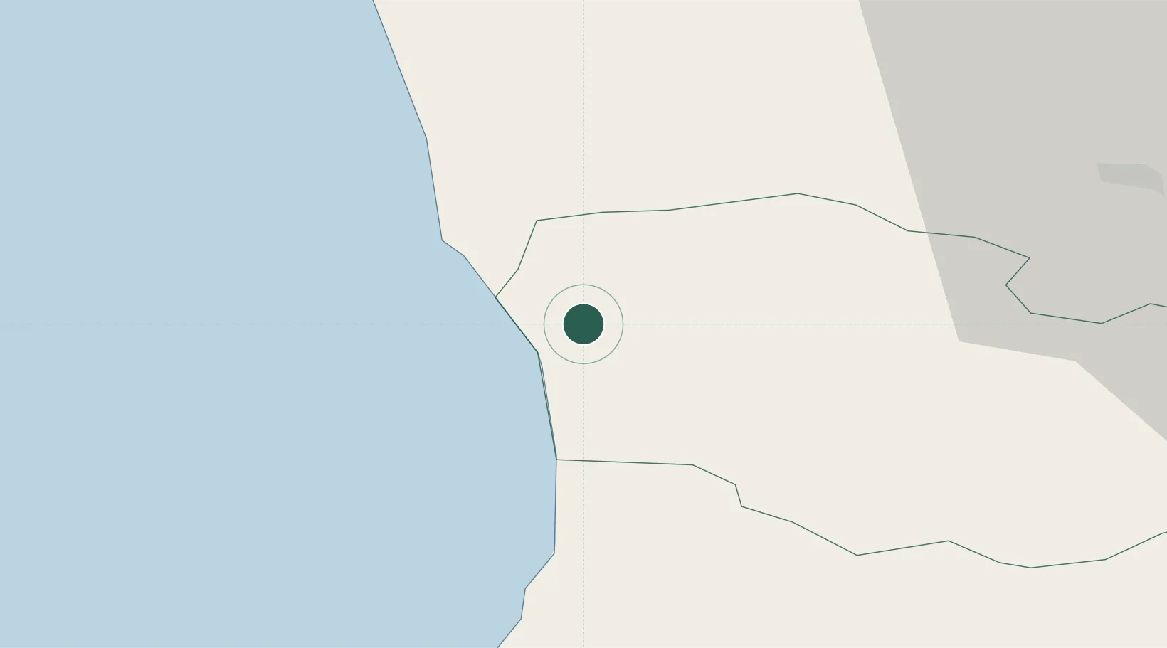
Location
Natural Earth 10m (public domain) · Guria · GESPS · 42.03, 41.80
Google ↗
OSM ↗
Yandex ↗
Nearby Logistics Neighbours
Cities
1
Poti
18 km
2
Kulevi
29 km
3
Tsalenjikha
34 km
4
Senaki
34 km
5
Batumi
44 km
Nearest neighbours — logibook spatial index (haversine) over the source coordinates
Ports
1
Batumi
44 km
2
Hopa
76 km
3
Sokhumi
125 km
4
Rize
152 km
5
Trabzon
204 km
Nearest neighbours — logibook spatial index (haversine) over the source coordinates
Airports
1
Ozurgeti Air Base
13 km
2
Senaki Air Base
31 km
3
Alexander Kartveli Batumi International Airport
50 km
4
David the Builder Kutaisi International Airport
59 km
5
Vladislav Ardzinba Sukhum International Airport
107 km
Nearest neighbours — logibook spatial index (haversine) over the source coordinates
Trade Zones
1
Poti Free Industrial Zone
20 km
2
Kulevi Free Industrial Zone
29 km
3
Kutaisi Free Industrial Zone - Fresh Georgia, LLC.
72 km
4
Kutaisi Free Industrial Zone (Hualing)
73 km
5
Trabzon Free Zone
206 km
Nearest neighbours — logibook spatial index (haversine) over the source coordinates
Data
book
The Record of Consolidated Knowledge
Georgia beyond logistics?
Browse databook
→
All Sources
Locations
UN/LOCODE
UN/LOCODE — free
↗
Locations
GeoNames
CC BY 4.0
↗
Ports
the NGA World Port Index
Public domain (US gov)
↗
Airports
OurAirports
Public domain
↗
Trade Zones
the World Bank SEZ database
CC BY 4.0
↗
Trade Zones
Open Zone Map
CC BY
↗
← Georgia locations