Large airport · Georgia

Alexander Kartveli Batumi International AirportUGSB
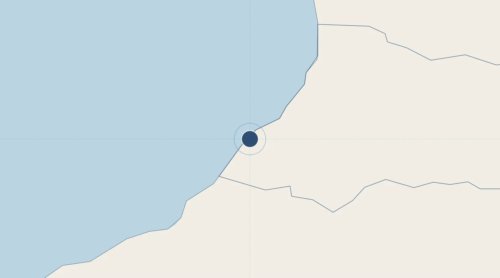
41.6094°, 41.6003°
8,202 ft
Longest runway
1
Runways
105 ft
Elevation

Runway & Layout

Alexander Kartveli Batumi International Airport runway & taxiway layout
Runway & taxiway layout — OpenStreetMap (ODbL) / OurAirports

Radio Frequencies

TWR
120 MHz
OurAirports

Navaids

LU NDB Batumi 430 kHz
OurAirports

Runways · 1

RunwayDimensions SurfaceTrue headingLit
12/30 8,202 × 148ft Asphalt 131°
OurAirports

Airport Specifications

IATA code
BUS
OurAirports
ICAO code
UGSB
OurAirports
Airport class
Large airport
OurAirports
Scheduled service
Yes
OurAirports
Runway surface
Asphalt
OurAirports
Served city
Batumi
OurAirports

Location

Location of UGSB
Natural Earth 10m (public domain) · Ajaria · UGSB · 41.61, 41.60GoogleOSMYandex

Nearby Logistics Neighbours

Airports
  1. 1Ozurgeti Air Base42 km
  2. 2Rize–Artvin Airport79 km
  3. 3Senaki Air Base79 km
  4. 4David the Builder Kutaisi International Airport97 km
  5. 5Vladislav Ardzinba Sukhum International Airport144 km
Nearest neighbours — logibook spatial index (haversine) over the source coordinates
Cities
  1. 1Batumi7 km
  2. 2Hopa28 km
  3. 3Sup'sa50 km
  4. 4Poti62 km
  5. 5Kulevi73 km
Nearest neighbours — logibook spatial index (haversine) over the source coordinates
Ports
  1. 1Batumi6 km
  2. 2Hopa27 km
  3. 3Supsa Marine Terminal55 km
  4. 4Rize109 km
  5. 5Sokhumi161 km
Nearest neighbours — logibook spatial index (haversine) over the source coordinates
Trade Zones
  1. 1Poti Free Industrial Zone64 km
  2. 2Kulevi Free Industrial Zone74 km
  3. 3Kutaisi Free Industrial Zone - Fresh Georgia, LLC.111 km
  4. 4Kutaisi Free Industrial Zone (Hualing)112 km
  5. 5Trabzon Free Zone170 km
Nearest neighbours — logibook spatial index (haversine) over the source coordinates
DatabookThe Record of Consolidated Knowledge
Georgia beyond logistics?
Browse databook

All Sources

AirportsOurAirports
Public domain
Portsthe NGA World Port Index
Public domain (US gov)
LocationsUN/LOCODE
UN/LOCODE — free
Trade Zonesthe World Bank SEZ database
CC BY 4.0
Trade ZonesOpen Zone Map
CC BY
InfrastructureOpenStreetMap
ODbL 1.0
← Georgia airports